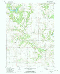
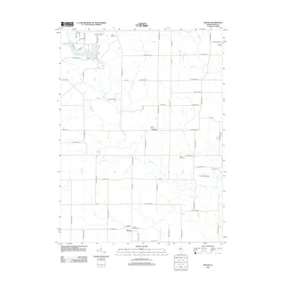
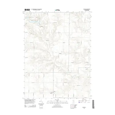
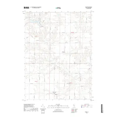
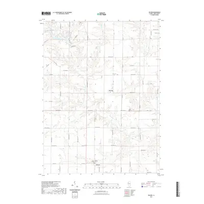
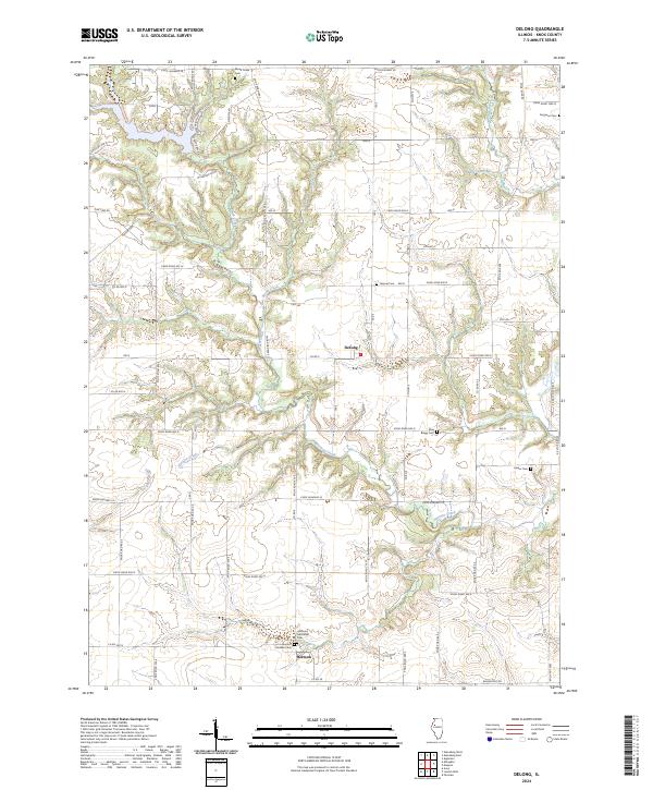
1982 Map of De Long
USGS Topo · Published 1983About this map
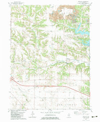
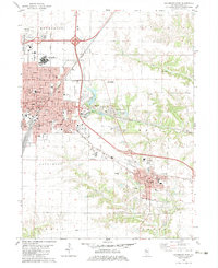
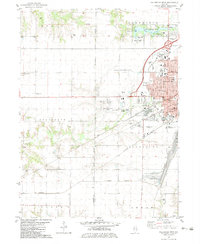
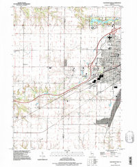
Lake Bracken and its associated Lake Bracken Country Club anchor the northwestern portion of this Knox County landscape, where the irregular shoreline and recreation-focused land use contrast with the surrounding agricultural grids. The settlement of DeLong sits central to the quadrangle, serving as a landmark in a terrain defined by the dendritic drainage of Brush Creek and Haw Creek. Further south, the community of Hermon marks the edge of Indian Point and Chestnut townships. Genealogists can find several family and community burial grounds across the area, including Brush Creek Cem, Ferguson Cem, and Haynes Cem. The landscape preserves traces of older infrastructure like the Old Grade and a Radio Tower, while the Good Samaritan Retreat and Orange Chapel highlight the religious and social institutions of this Illinois rural pocket.
Find a feature on this map
25 named features on this map. Tap any name to fly to it.
Don’t see what you’re looking for? This feature index may not catch every label — zoom into the map to look around manually.
Map Details
Editions of this 1982 De Long Map
This is the sole edition of this map. No revisions or reprints were ever made.
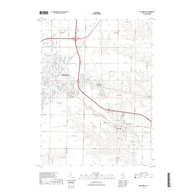
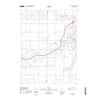
Historical Maps of Hermon Through Time
27 maps found
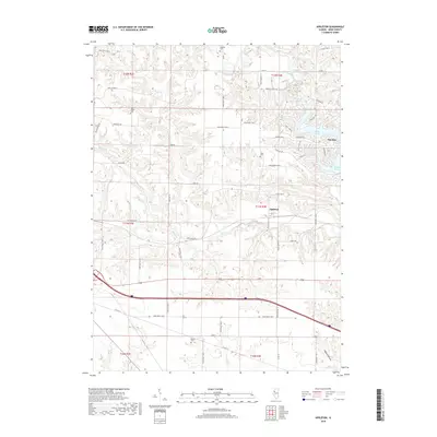
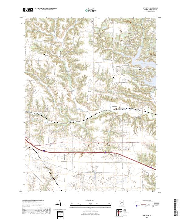
1982 Appleton
Knox County, IL
1982 De Long
Knox County, IL
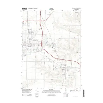
1982 Galesburg East
Knox County, IL
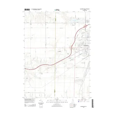
1982 Galesburg West
Knox County, IL
1996 Galesburg West
Knox County, IL
1998 Appleton
Knox County, IL
1998 De Long
Knox County, IL
2012 Appleton
Knox County, IL
2012 DeLong
Knox County, IL
2012 Galesburg East
Knox County, IL
2012 Galesburg West
Knox County, IL
2015 Appleton
Knox County, IL
2015 DeLong
Knox County, IL
2015 Galesburg East
Knox County, IL
2015 Galesburg West
Knox County, IL
2018 Appleton
Knox County, IL
2018 DeLong
Knox County, IL
2018 Galesburg East
Knox County, IL
2018 Galesburg West
Knox County, IL

2021 Appleton
Knox County, IL
2021 DeLong
Knox County, IL
2021 Galesburg East
Knox County, IL
2021 Galesburg West
Knox County, IL
2024 Appleton
Knox County, IL
2024 DeLong
Knox County, IL
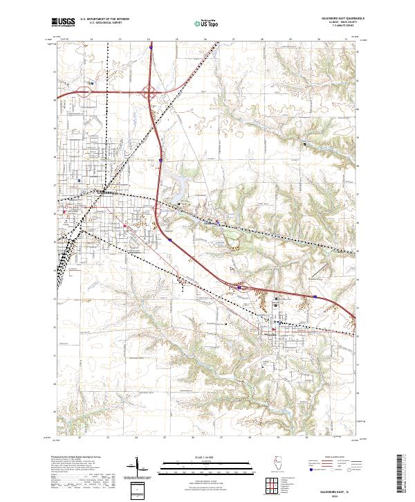
2024 Galesburg East
Knox County, IL
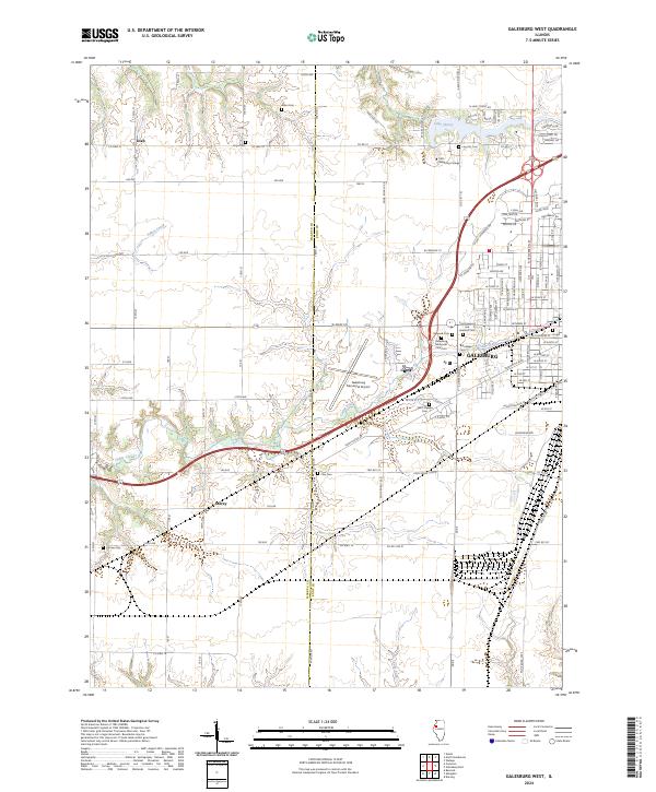
2024 Galesburg West
Knox County, IL