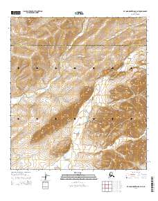
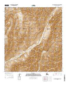
2015 Map of De Long Mountains A-4 NE
USGS Topo · Published 2015About this map
De Long Mountains topography dominates this 2015 U.S. Geological Survey study of a remote intersection between the North Slope Borough and Northwest Arctic Borough. The landscape is defined by massive natural elevations and the winding path of the Kivalina River as it cuts through the Akutagrak Hills. Notable high points such as Mt Sapumik and Sapumim Neakau Mtn provide significant landmarks within a terrain that transitions from the sharp relief of Spiny Ridge in the north to the Wulik Peaks in the southeast. This map captures a strictly natural environment, where the lack of roads or permanent structures reflects the wilderness character of the region. Local researchers and physical geographers can trace the subtle drainages like Suloktingirak which feed the broader river systems of the Arctic interior.
Find a feature on this map
14 named features on this map. Tap any name to fly to it.
Don’t see what you’re looking for? This feature index may not catch every label — zoom into the map to look around manually.
Map Details
Editions of this 2015 De Long Mountains A-4 NE Map
This is the sole edition of this map. No revisions or reprints were ever made.
Other maps of this area

1951 · De Long Mountains
USGS Topo · 1:250,000

1955 · De Long Mountains
USGS Topo · 1:250,000

1955 · De Long Mountains A-3
USGS Topo · 1:63,360

1955 · De Long Mountains A-4
USGS Topo · 1:63,360

1955 · De Long Mountains B-3
USGS Topo · 1:63,360
1955 · De Long Mountains B-4
USGS Topo · 1:63,360

1965 · De Long Mountains
USGS Topo · 1:250,000
2014 · De Long Mountains A-4 SW
USGS Topo · 1:25,000
2015 · De Long Mountains A-4 NW
USGS Topo · 1:25,000
2015 · De Long Mountains B-4 SE
USGS Topo · 1:25,000