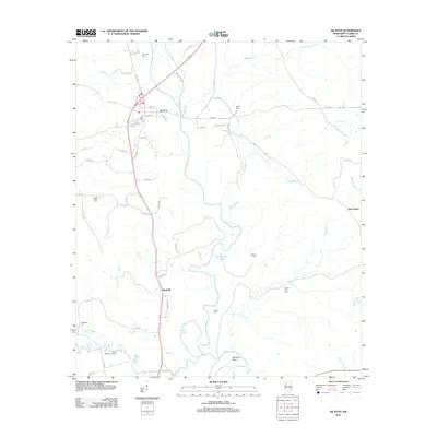
2012 Map of De Soto
USGS Topo · Published 2012About this map
The Chickasawhay River meanders through Clarke County, Mississippi, defining the local geography with its complex bends and cutoffs. Along its winding course, features like Martincere Bend, McCormick Cutoff, and Johnson Cutoff reveal a landscape shaped by fluvial processes and drainage management. This river corridor has long been the focal point for settlement, as evidenced by the community of De Soto and the smaller gathering at Sumrall situated further south.
Find a feature on this map
66 named features on this map. Tap any name to fly to it.
Don’t see what you’re looking for? This feature index may not catch every label — zoom into the map to look around manually.
Map Details
Editions of this 2012 De Soto Map
This is the sole edition of this map. No revisions or reprints were ever made.
Other maps of this area

1953 · Hattiesburg
USGS Topo · 1:250,000

1953 · Meridian
USGS Topo · 1:250,000

1957 · Meridian
USGS Topo · 1:250,000

1957 · Quitman
USGS Topo · 1:62,500

1957 · Enterprise
USGS Topo · 1:62,500

1958 · Hattiesburg
USGS Topo · 1:250,000

1964 · Carmichael
USGS Topo · 1:24,000

1964 · Eucutta
USGS Topo · 1:24,000

1964 · Hale
USGS Topo · 1:24,000

1964 · De Soto
USGS Topo · 1:24,000