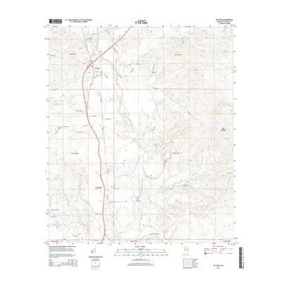
2015 Map of De Soto
USGS Topo · Published 2015About this map
The Chickasawhay River carves a winding path through this Clarke County landscape, defining the rural character of the area around De Soto and Sumrall. The waterway’s complex hydrology is evidenced by features like McCormick Cutoff, Johnson Cutoff, and the sharp loop at Martinere Bend. This 2015 survey reveals a terrain defined by numerous small creeks and branches, including Fallen Cr, Watts Cr, and Garland Cr, which feed into the primary river system. Local history is anchored by a significant number of family and community burial grounds, such as Covington Cem, Heard Cem, and Bethea Cem, scattered among the woodland and prairie clearings. To the east, Sels Prairie stands out as a distinct geographic area, while the settlement at De Soto remains the primary hub, served by a network of county roads and local streets like Paulin St and Clarion St.
Find a feature on this map
72 named features on this map. Tap any name to fly to it.
Don’t see what you’re looking for? This feature index may not catch every label — zoom into the map to look around manually.
Map Details
Editions of this 2015 De Soto Map
This is the sole edition of this map. No revisions or reprints were ever made.
Other maps of this area
1953 · Hattiesburg
USGS Topo · 1:250,000
1953 · Meridian
USGS Topo · 1:250,000
1957 · Meridian
USGS Topo · 1:250,000
1957 · Quitman
USGS Topo · 1:62,500
1957 · Enterprise
USGS Topo · 1:62,500
1958 · Hattiesburg
USGS Topo · 1:250,000
1964 · Carmichael
USGS Topo · 1:24,000
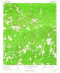
1964 · Eucutta
USGS Topo · 1:24,000
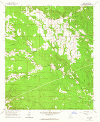
1964 · Hale
USGS Topo · 1:24,000
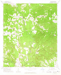
1964 · De Soto
USGS Topo · 1:24,000