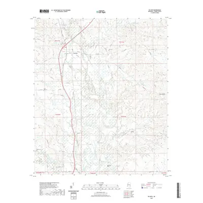
2020 Map of De Soto
USGS Topo · Published 2020About this map
De Soto stands at the heart of this Clarke County landscape, where the Chickasawhay River meanders through a network of cutoffs and bends. The river's natural course is punctuated by features like McCornick Cutoff and the Martincere Bend, reflecting a complex hydrologic history. To the east, the terrain opens into Sels Prairie, while the surrounding timberlands are crisscrossed by numerous waterways including Coonipper Cr and Shubuta Creek.
Find a feature on this map
64 named features on this map. Tap any name to fly to it.
Don’t see what you’re looking for? This feature index may not catch every label — zoom into the map to look around manually.
Map Details
Editions of this 2020 De Soto Map
This is the sole edition of this map. No revisions or reprints were ever made.
Other maps of this area

1953 · Hattiesburg
USGS Topo · 1:250,000

1953 · Meridian
USGS Topo · 1:250,000

1957 · Meridian
USGS Topo · 1:250,000

1957 · Quitman
USGS Topo · 1:62,500

1957 · Enterprise
USGS Topo · 1:62,500

1958 · Hattiesburg
USGS Topo · 1:250,000

1964 · Carmichael
USGS Topo · 1:24,000

1964 · Eucutta
USGS Topo · 1:24,000

1964 · Hale
USGS Topo · 1:24,000

1964 · De Soto
USGS Topo · 1:24,000