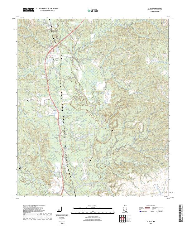
2024 Map of De Soto
USGS Topo · Published 2024About this map
The Chickasawhay River dominates this portion of Clarke County, winding through a landscape defined by significant alluvial bends and cutoffs. The settlement of De Soto sits on the western side of the river valley, served by a network of local roads such as Jasper St and Clarion St. This area is particularly dense with small family and community burial sites, offering a high degree of detail for genealogical research. Documented locations include Covington Cem, Bethel Cem, and the Center Ridge Baptist Cem.
Find a feature on this map
67 named features on this map. Tap any name to fly to it.
Don’t see what you’re looking for? This feature index may not catch every label — zoom into the map to look around manually.
Map Details
Editions of this 2024 De Soto Map
This is the sole edition of this map. No revisions or reprints were ever made.
Other maps of this area

1953 · Hattiesburg
USGS Topo · 1:250,000

1953 · Meridian
USGS Topo · 1:250,000

1957 · Meridian
USGS Topo · 1:250,000

1957 · Quitman
USGS Topo · 1:62,500

1957 · Enterprise
USGS Topo · 1:62,500

1958 · Hattiesburg
USGS Topo · 1:250,000

1964 · Carmichael
USGS Topo · 1:24,000

1964 · Eucutta
USGS Topo · 1:24,000

1964 · Hale
USGS Topo · 1:24,000

1964 · De Soto
USGS Topo · 1:24,000