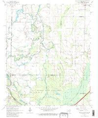
1968 Map of De Valls Bluff NE
USGS Topo · Published 1981About this map
The Cache River and its intricate network of sloughs and oxbow lakes dominate this 1960s landscape, illustrating the complex hydrology of eastern Arkansas before modern intensive drainage. From Cotton Plant in the north to the edge of Brinkley in the southeast, the terrain is a mosaic of bottomlands and agricultural clearings. The Dagmar State Game Area preserves a significant portion of this riverine environment, featuring named water bodies like Hickson Lake and Mud Slough. Rural life is centered around community landmarks such as Trices Chapel, Mt Pleasant Ch, and Ash Grove Ch. The presence of the Trice Cem and Ash Grove Cem provides specific points of interest for genealogists tracing families in the Richland and Freeman districts. This survey also records the county lines of Prairie, Woodruff, and Monroe as they intersect among the bayous and the topographic rise of Upper Surrounded Hill.
Find a feature on this map
35 named features on this map. Tap any name to fly to it.
Don’t see what you’re looking for? This feature index may not catch every label — zoom into the map to look around manually.
Map Details
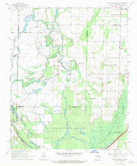
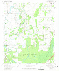
Editions of this 1968 De Valls Bluff NE Map
3 editions found
Other maps of this area

1935 · Gregory
USGS Topo · 1:62,500

1939 · Hunter
USGS Topo · 1:62,500

1940 · Brinkley
USGS Topo · 1:62,500

1941 · De Valls Bluff
USGS Topo · 1:62,500

1948 · Helena
USGS Topo · 1:250,000

1950 · Helena
USGS Topo · 1:250,000

1953 · Memphis
USGS Topo · 1:250,000

1955 · Helena
USGS Topo · 1:250,000

1956 · Memphis
USGS Topo · 1:250,000

1956 · Hunter
USGS Topo · 1:62,500