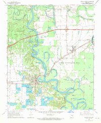
1968 Map of De Valls Bluff
USGS Topo · Published 1970About this map
The White River defines the landscape of central Arkansas in this 1960s study, weaving through a dense network of oxbow lakes and wetlands. The river's winding course is marked by landmarks like Red Bluff and Akapola Bluff, while the floodplain is dotted with dozens of named water bodies including Upshaw Lake, Hendricks Lake, and The Basin. On the western bank, De Valls Bluff serves as a primary hub where the Chicago Rock Island and Pacific railroad crosses the water. To the west, the expansive Wattensaw State Game Area preserves the wild character of the river bottoms, while the surrounding higher ground, such as Upper Surrounded Hill and Lower Surrounded Hill, accommodates the farming communities of Biscoe (Fredonia) and Brasfield. The map reveals a specialized aquaculture economy evidenced by the numerous Minnow Ponds concentrated near Mesa.
Find a feature on this map
51 named features on this map. Tap any name to fly to it.
Don’t see what you’re looking for? This feature index may not catch every label — zoom into the map to look around manually.
Map Details
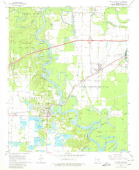
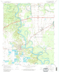
Editions of this 1968 De Valls Bluff Map
3 editions found
Other maps of this area

1935 · Hazen
USGS Topo · 1:62,500

1935 · Clarendon
USGS Topo · 1:62,500

1937 · Stuttgart
USGS Topo · 1:62,500

1939 · Stuttgart
USGS Topo · 1:62,500

1941 · Hazen
USGS Topo · 1:62,500

1941 · De Valls Bluff
USGS Topo · 1:62,500

1941 · Clarendon
USGS Topo · 1:62,500

1948 · Helena
USGS Topo · 1:250,000

1950 · Helena
USGS Topo · 1:250,000

1955 · Helena
USGS Topo · 1:250,000