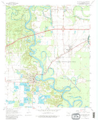
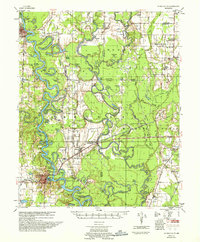
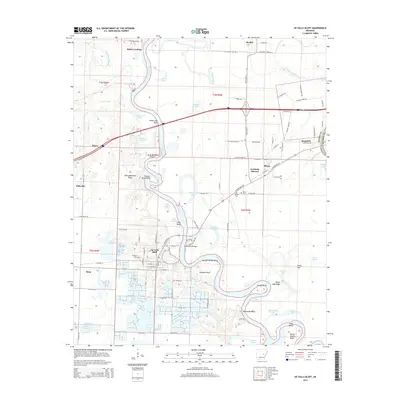
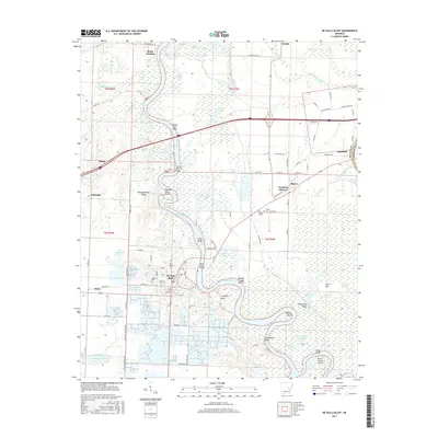
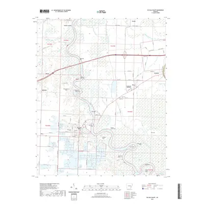
1968 Map of De Valls Bluff
USGS Topo · Published 1980About this map
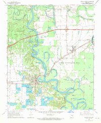
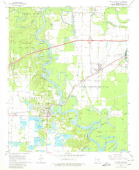
White River oxbows and riverbank bluffs dominate this late 1960s survey of Prairie County. The community of De Valls Bluff sits at a strategic bend where the Chicago Rock Island and Pacific railroad crosses the water, supported by nearby Oaklawn Cem and several clusters of Minnow Ponds. The landscape transitions from the managed wetlands of the Wattensaw State Game Area in the west to the higher elevations of Upper Surrounded Hill and Lower Surrounded Hill to the east.
Find a feature on this map
52 named features on this map. Tap any name to fly to it.
Don’t see what you’re looking for? This feature index may not catch every label — zoom into the map to look around manually.
Map Details
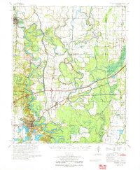
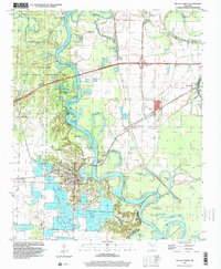
Editions of this 1968 De Valls Bluff Map
3 editions found
Historical Maps of Hazen Through Time
10 maps found
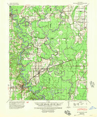
1941 De Valls Bluff
Prairie County, AR
1957 De Valls Bluff
Prairie County, AR
1968 De Valls Bluff
Prairie County, AR
1971 De Valls Bluff
Prairie County, AR
1996 De Valls Bluff
Prairie County, AR
2011 De Valls Bluff
Prairie County, AR
2014 De Valls Bluff
Prairie County, AR
2017 De Valls Bluff
Prairie County, AR
2020 De Valls Bluff
Prairie County, AR
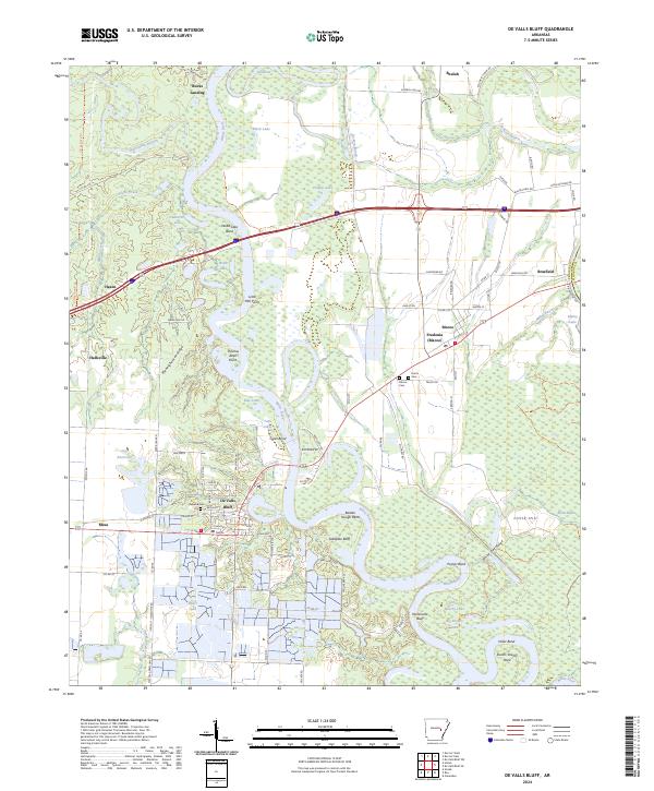
2024 De Valls Bluff
Prairie County, AR