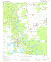
1968 Map of De Valls Bluff
USGS Topo · Published 1980About this map
De Valls Bluff sits at a strategic bend in the White River, serving as a focal point where the Chicago Rock Island and Pacific railroad crosses the water. This 1968 survey illustrates the complex aquatic landscape of the White River basin, defined by oxbow features like Horseshoe Lake, Webb Lake, and The Basin. The area's topography is marked by distinctive elevations such as Upper Surrounded Hill and Lower Surrounded Hill, which rise above the floodplains and bayous. To the west, the Wattensaw State Game Area preserves a significant portion of the natural terrain along Wattensaw Bayou. Genealogists will find numerous local landmarks, including Oaklawn Cem, Union Chapel, and the settlement of Biscoe (Fredonia). The map also details the emerging modern infrastructure of Interstate 40 cutting across the northern half of the quadrangle.
Find a feature on this map
54 named features on this map. Tap any name to fly to it.
Don’t see what you’re looking for? This feature index may not catch every label — zoom into the map to look around manually.
Map Details
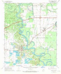
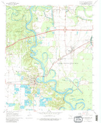
Editions of this 1968 De Valls Bluff Map
3 editions found
Other maps of this area

1935 · Hazen
USGS Topo · 1:62,500

1935 · Clarendon
USGS Topo · 1:62,500

1937 · Stuttgart
USGS Topo · 1:62,500

1939 · Stuttgart
USGS Topo · 1:62,500

1941 · Hazen
USGS Topo · 1:62,500

1941 · De Valls Bluff
USGS Topo · 1:62,500

1941 · Clarendon
USGS Topo · 1:62,500

1948 · Helena
USGS Topo · 1:250,000

1950 · Helena
USGS Topo · 1:250,000

1955 · Helena
USGS Topo · 1:250,000