
1927 Map of De Witt
USGS Topo · Published 1927About this map
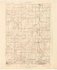
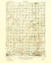
Bengal and Bingham townships define the northern reaches of this mid-Michigan landscape, where a dense network of country schools served a thriving agricultural community in the mid-1920s. Small rural centers like De Witt and Wacousta are depicted before the significant suburban expansion of later decades, centered around the winding course of the Lookingglass River. The map captures the transition between Clinton, Eaton, and Ingham counties, showing the early infrastructure of State Highway No 16 and the Central Michigan Road as they approached the northern outskirts of Lansing. Genealogists will find particular value in the placement of numerous family-named landmarks and institutions, such as the Oak Ridge Cemetery and the Wilsey Church. This era is characterized by its decentralized education system, with schools like Bengal Center School and County Farm School situated at nearly every major crossroads, providing a clear picture of local life before school consolidation.
Find a feature on this map
82 named features on this map. Tap any name to fly to it.
Don’t see what you’re looking for? This feature index may not catch every label — zoom into the map to look around manually.
Map Details
Editions of this 1927 De Witt Map
3 editions found
Other maps of this area

1909 · Mason
USGS Topo · 1:62,500

1910 · Lansing
USGS Topo · 1:62,500

1911 · Mason
USGS Topo · 1:62,500

1912 · Lansing
USGS Topo · 1:62,500

1918 · Elsie
USGS Topo · 1:62,500

1918 · Perrinton
USGS Topo · 1:62,500

1928 · Laingsburg
USGS Topo · 1:62,500

1943 · Perrinton
USGS Topo · 1:62,500

1943 · Elsie
USGS Topo · 1:62,500

1944 · Laingsburg
USGS Topo · 1:62,500