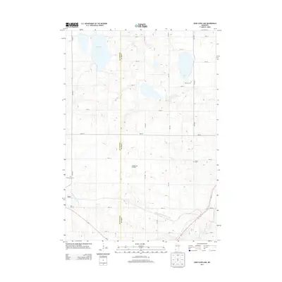
2013 Map of Dead Coon Lake
USGS Topo · Published 2013About this map
Tyler sits at the southwestern edge of this landscape, positioned along the path of Us-14 and MN-23. This area of Southwest Minnesota is defined by the Coteau des Prairies, a high glacial plateau that shapes the local hydrology and agricultural patterns. Significant water bodies include Dead Coon Lake and Wood Lake, while a network of engineered waterways like County Ditch Number Fourteen and Judicial Ditch Number Thirtyone drain the surrounding fields toward the Redwood River. Local genealogy and land history are anchored by several established burial grounds, including Hope Cem near the town center, Saint Dionysius Cem to the north, and both Wood Lake Cem and Mission Cem further east. The map captures a grid of rural roads and section lines where Lincoln County meets Lyon County.
Find a feature on this map
28 named features on this map. Tap any name to fly to it.
Don’t see what you’re looking for? This feature index may not catch every label — zoom into the map to look around manually.
Map Details
Editions of this 2013 Dead Coon Lake Map
This is the sole edition of this map. No revisions or reprints were ever made.
Other maps of this area

1953 · Watertown
USGS Topo · 1:250,000

1953 · New Ulm
USGS Topo · 1:250,000

1957 · New Ulm
USGS Topo · 1:250,000

1958 · New Ulm
USGS Topo · 1:250,000

1958 · Watertown
USGS Topo · 1:250,000

1963 · Dead Coon Lake
USGS Topo · 1:24,000

1963 · Gislason Lake
USGS Topo · 1:24,000

1963 · Russell
USGS Topo · 1:24,000

1963 · Tyler
USGS Topo · 1:24,000

1963 · Lynd
USGS Topo · 1:24,000