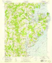
1957 Map of Deale
USGS Topo · Published 1959About this map
Galesville and the surrounding Chesapeake shoreline reflect a mid-century landscape of established maritime commerce and emerging waterfront communities. The map details a complex network of points and creeks where the West River and Rhode River meet the Chesapeake Bay, including many residential developments like Avalon Shores and Cédarhurst-on-the-Bay. Further inland, the transition to rural agricultural life is evidenced by the numerous post offices and historic religious sites that anchored the community, such as Owensville and St James Ch. The distribution of Southern High Sch and multiple cemeteries like Franklin Cem provides clear indicators of the local population centers and family lineages during the late 1950s. This survey records the area just as secondary roads like Shady Side Road were becoming essential links between the quiet landings of the bay and the interior hubs of Harwood and Sudley.
Find a feature on this map
124 named features on this map. Tap any name to fly to it.
Don’t see what you’re looking for? This feature index may not catch every label — zoom into the map to look around manually.
Map Details
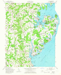
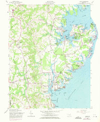
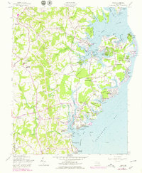
Editions of this 1957 Deale Map
4 editions found
Other maps of this area

1892 · Prince Frederick
USGS Topo · 1:62,500

1892 · Owensville
USGS Topo · 1:62,500

1892 · Annapolis
USGS Topo · 1:62,500

1893 · Sharps Island
USGS Topo · 1:62,500

1895 · Prince Frederick
USGS Topo · 1:62,500

1895 · Owensville
USGS Topo · 1:62,500

1898 · Choptank
USGS Topo · 1:125,000

1899 · Patuxent
USGS Topo · 1:125,000

1901 · Prince Frederick
USGS Topo · 1:62,500

1904 · Annapolis
USGS Topo · 1:62,500