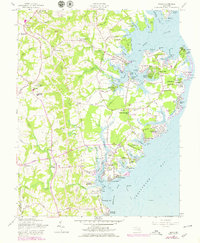
1957 Map of Deale
USGS Topo · Published 1979About this map
The West River and Rhode River define the intricate coastline of this Anne Arundel County peninsula, where maritime life and rural agriculture meet. Coastal communities like Galesville, Shady Side, and Franklin Manor-on-the-Bay emphasize the region's historical reliance on the water, with numerous points such as Chalk Point and Drum Pt marking the entrance to protected harbors. In the interior, the map reveals a landscape of scattered family farms and crossroads like Lothian and Tracys Landing, connected by thoroughfares such as Solomons Island Rd.
Find a feature on this map
112 named features on this map. Tap any name to fly to it.
Don’t see what you’re looking for? This feature index may not catch every label — zoom into the map to look around manually.
Map Details
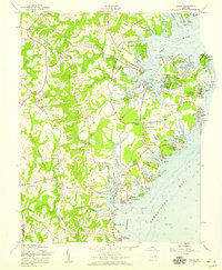
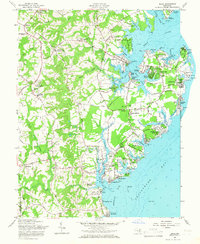
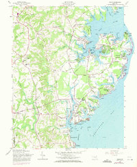
Editions of this 1957 Deale Map
4 editions found
Other maps of this area

1892 · Prince Frederick
USGS Topo · 1:62,500

1892 · Owensville
USGS Topo · 1:62,500

1892 · Annapolis
USGS Topo · 1:62,500

1893 · Sharps Island
USGS Topo · 1:62,500

1895 · Prince Frederick
USGS Topo · 1:62,500

1895 · Owensville
USGS Topo · 1:62,500

1898 · Choptank
USGS Topo · 1:125,000

1899 · Patuxent
USGS Topo · 1:125,000

1901 · Prince Frederick
USGS Topo · 1:62,500

1904 · Annapolis
USGS Topo · 1:62,500