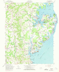
1957 Map of Deale
USGS Topo · Published 1971About this map
The western shores of Chesapeake Bay reveal a landscape defined by deep tidal inlets and established maritime communities in this mid-century survey. Along Rockhold Creek, the settlements of North Deale and Deale serve as focal points for local commerce and navigation, while Galesville sits prominently at the confluence of West River and Tenthouse Creek. The area's social fabric is visible through its spiritual and educational centers, including Chews Memorial Ch, St James Ch, and the Southern High School near Lothian.
Find a feature on this map
137 named features on this map. Tap any name to fly to it.
Don’t see what you’re looking for? This feature index may not catch every label — zoom into the map to look around manually.
Map Details
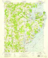
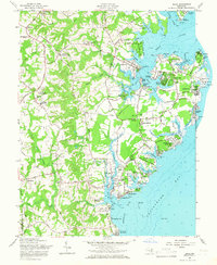
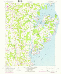
Editions of this 1957 Deale Map
4 editions found
Other maps of this area

1892 · Prince Frederick
USGS Topo · 1:62,500

1892 · Owensville
USGS Topo · 1:62,500

1892 · Annapolis
USGS Topo · 1:62,500

1893 · Sharps Island
USGS Topo · 1:62,500

1895 · Prince Frederick
USGS Topo · 1:62,500

1895 · Owensville
USGS Topo · 1:62,500

1898 · Choptank
USGS Topo · 1:125,000

1899 · Patuxent
USGS Topo · 1:125,000

1901 · Prince Frederick
USGS Topo · 1:62,500

1904 · Annapolis
USGS Topo · 1:62,500