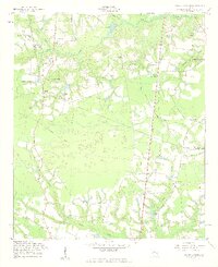
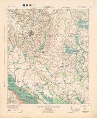
1958 Map of Deans Crossing
USGS Topo · Published 1961About this map
Deans Crossing sits at a geographic crossroads in South Georgia, where the boundary between Tattnall County and Evans County follows the winding path of Beards Creek. The landscape in the late 1950s is defined by small agricultural settlements and a dense network of spiritual and educational landmarks. Local history and genealogy are anchored by numerous family cemeteries, such as Hammock Cem and Smith Cem, and rural congregations including Rehovah Ch and Harmony Ch.
Find a feature on this map
41 named features on this map. Tap any name to fly to it.
Don’t see what you’re looking for? This feature index may not catch every label — zoom into the map to look around manually.
Map Details
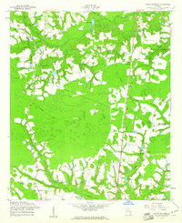
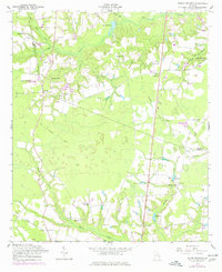
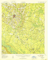
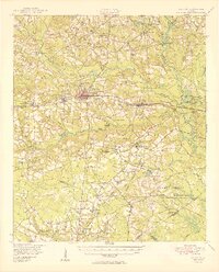
Editions of this 1958 Deans Crossing Map
3 editions found
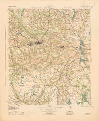
Other maps of this area

1919 · Claxton
USGS Topo · 1:62,500

1920 · Glennville
USGS Topo · 1:62,500
1944 · Claxton
USGS Topo · 1:62,500
1944 · Glennville
USGS Topo · 1:62,500

1946 · Brunswick
USGS Topo · 1:250,000

1947 · Savannah
USGS Topo · 1:250,000

1948 · Brunswick
USGS Topo · 1:250,000

1948 · Savannah
USGS Topo · 1:250,000
1950 · Glennville
USGS Topo · 1:62,500
1950 · Claxton
USGS Topo · 1:62,500