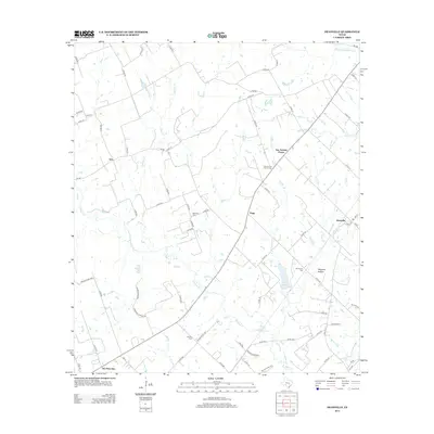
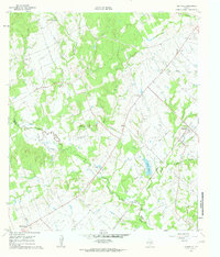
2013 Map of Deanville
USGS Topo · Published 2013About this map
Old Dime Box and the surrounding ranchlands of Lee County are defined by a network of creeks and small family cemeteries in this 2013 survey. The landscape is dominated by the drainages of E Yegua Cr and Buffalo Cr, which flow through a region of scattered rural settlements including Hogg, Gus, and the community of San Antonio Prairie. Local genealogy is anchored by several burial sites such as the San Antonio Prairie Cem and Belltown Cem, providing evidence of the area's long-established resident families. The map also captures the topography of Wolphen Hollow and several small bodies of water like Mueller Lake and Balcar Lake, illustrating a rural Texas environment where small-scale agriculture and ranching remain the primary land use across a complex grid of county roads.
Find a feature on this map
80 named features on this map. Tap any name to fly to it.
Don’t see what you’re looking for? This feature index may not catch every label — zoom into the map to look around manually.
Map Details
Editions of this 2013 Deanville Map
This is the sole edition of this map. No revisions or reprints were ever made.
Other maps of this area

1919 · Dime Box
USGS Topo · 1:62,500

1954 · Austin
USGS Topo · 1:250,000

1956 · Caldwell
USGS Topo · 1:62,500

1956 · Milano
USGS Topo · 1:62,500

1956 · Somerville
USGS Topo · 1:62,500

1959 · Flag Pond
USGS Topo · 1:24,000
1959 · Dime Box
USGS Topo · 1:24,000
1960 · Tanglewood
USGS Topo · 1:24,000
1960 · Frenstat
USGS Topo · 1:24,000
1960 · Deanville
USGS Topo · 1:24,000