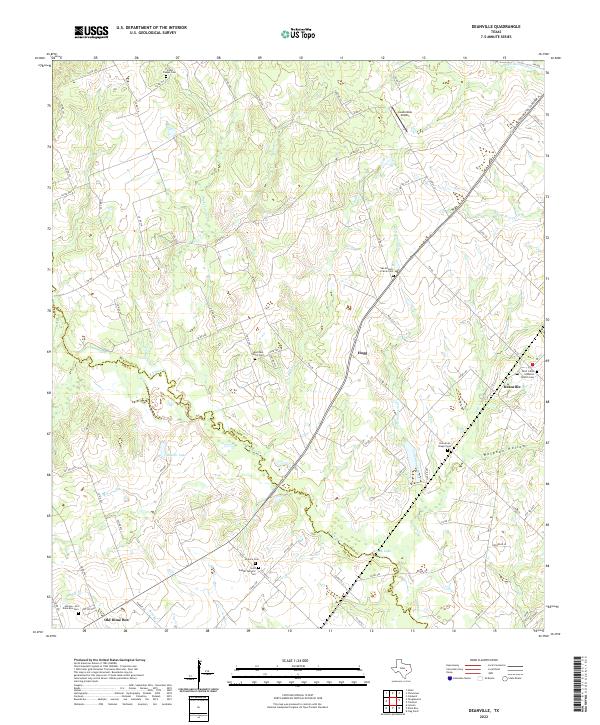
2022 Map of Deanville
USGS Topo · Published 2022About this map
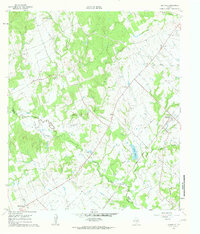
Deanville and Old Dime Box anchor the southeastern and southwestern corners of this landscape where the Burleson and Lee county line follows the winding course of E Yegua Cr. The area is characterized by a dense concentration of community burial sites, suggesting a deep-rooted rural population with distinct cultural pockets. From Saint Johns Lutheran Church Cem in the east to the Saint Joseph Catholic Cem and Hranice Cem further west, these sites trace the genealogy of the region. The terrain is defined by drainages like Buffalo Cr and Cottonwood Cr that feed into the larger creek systems, while human landmarks such as Lauderdale Airport and the settlement at Hogg provide modern orientation points amidst the older cattle and farm roads.
Find a feature on this map
92 named features on this map. Tap any name to fly to it.
Don’t see what you’re looking for? This feature index may not catch every label — zoom into the map to look around manually.
Map Details
Editions of this 2022 Deanville Map
This is the sole edition of this map. No revisions or reprints were ever made.
Other maps of this area

1919 · Dime Box
USGS Topo · 1:62,500

1954 · Austin
USGS Topo · 1:250,000

1956 · Caldwell
USGS Topo · 1:62,500

1956 · Milano
USGS Topo · 1:62,500

1956 · Somerville
USGS Topo · 1:62,500

1959 · Flag Pond
USGS Topo · 1:24,000
1959 · Dime Box
USGS Topo · 1:24,000
1960 · Tanglewood
USGS Topo · 1:24,000
1960 · Frenstat
USGS Topo · 1:24,000
1960 · Deanville
USGS Topo · 1:24,000