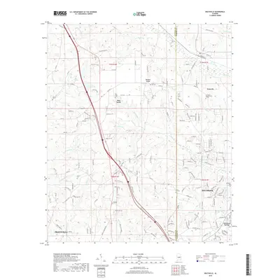
2018 Map of Deatsville
USGS Topo · Published 2018About this map
Pine Level Ridge defines the central terrain of this corridor, where the growing communities of Pine Level and Stoney Point sit between the headwaters of numerous small tributaries. The landscape is deeply etched by a network of creeks, including Mortar Creek and Kenner Creek, which drain the rolling hills of the Autauga and Elmore County border. This area showcases a distinct pattern of rural residential growth intermixed with institutional and agricultural sites, notably the J F Ingram State Technical College in Deatsville.
Find a feature on this map
167 named features on this map. Tap any name to fly to it.
Don’t see what you’re looking for? This feature index may not catch every label — zoom into the map to look around manually.
Map Details
Editions of this 2018 Deatsville Map
This is the sole edition of this map. No revisions or reprints were ever made.
Other maps of this area

1891 · Clanton
USGS Topo · 1:125,000

1901 · Wetumpka
USGS Topo · 1:125,000

1903 · Wetumpka
USGS Topo · 1:125,000

1927 · Montgomery
USGS Topo · 1:48,000

1930 · Montgomery
USGS Topo · 1:62,500

1953 · Montgomery
USGS Topo · 1:250,000

1956 · Montgomery
USGS Topo · 1:250,000

1957 · Montgomery
USGS Topo · 1:250,000

1957 · Autaugaville
USGS Topo · 1:62,500

1958 · Montgomery
USGS Topo · 1:62,500