
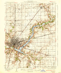
1933 Map of Decatur
USGS Topo · Published 1933About this map
Decatur serves as the industrial and transit hub of this Central Illinois region, shown here during a period of significant local development. The Sangamon River is a central geographic feature, bordered by recreation and leisure sites including Faries Park, Nelson Park, and the Municipal Beach. This survey records an extensive network of rural education, identifying dozens of local schoolhouses such as Blue Door Sch, Boiling Springs Sch, and Fair Play Sch which served the surrounding farming townships.
Find a feature on this map
80 named features on this map. Tap any name to fly to it.
Don’t see what you’re looking for? This feature index may not catch every label — zoom into the map to look around manually.
Map Details
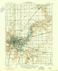
Editions of this 1933 Decatur Map
3 editions found
Other maps of this area

1929 · Decatur
USGS Topo · 1:62,500

1935 · Sullivan
USGS Topo · 1:48,000

1937 · Monticello
USGS Topo · 1:48,000

1940 · Sullivan
USGS Topo · 1:62,500

1943 · Monticello
USGS Topo · 1:62,500

1949 · Dalton City
USGS Topo · 1:62,500

1952 · Assumption
USGS Topo · 1:62,500

1954 · Niantic
USGS Topo · 1:62,500

1955 · Bement
USGS Topo · 1:62,500

1957 · Kenney
USGS Topo · 1:62,500