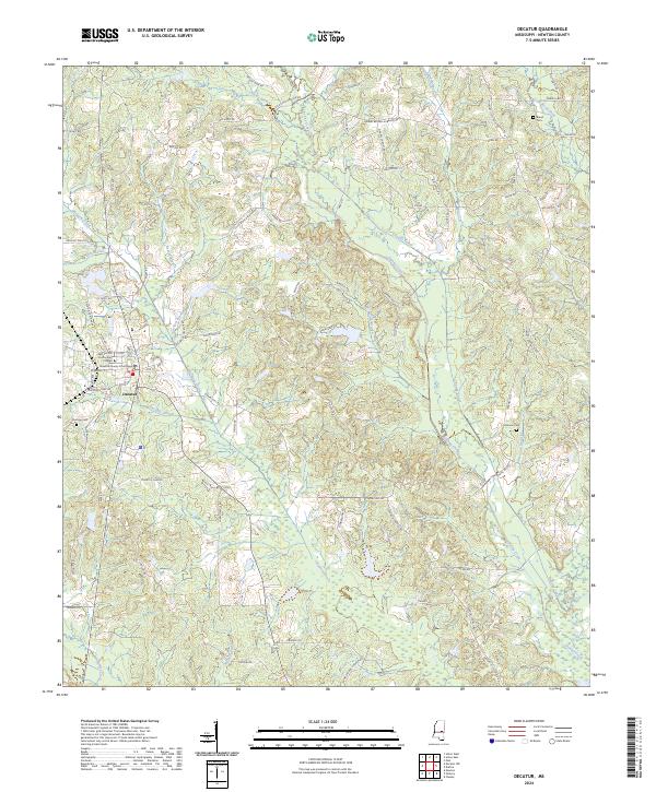
2024 Map of Decatur
USGS Topo · Published 2024About this map
Decatur serves as the focal point of this Newton County landscape, anchored by the Newton County Courthouse and the campus of East Central Community College. The town site is situated amidst a network of drainage systems, including the Decatur Branch and Okatibbee Creek. Further east, the Chunky Creek and the man-made Chunky Canal cut through the terrain, indicating a history of water management or drainage improvement in this part of Mississippi.
Find a feature on this map
91 named features on this map. Tap any name to fly to it.
Don’t see what you’re looking for? This feature index may not catch every label — zoom into the map to look around manually.
Map Details
Editions of this 2024 Decatur Map
This is the sole edition of this map. No revisions or reprints were ever made.
Other maps of this area

1953 · Meridian
USGS Topo · 1:250,000

1957 · Meridian
USGS Topo · 1:250,000

1957 · Chunky
USGS Topo · 1:62,500

1962 · Post
USGS Topo · 1:24,000

1965 · Meridian
USGS Topo · 1:250,000

1966 · Hickory
USGS Topo · 1:24,000

1966 · Newton
USGS Topo · 1:24,000

1966 · Decatur NW
USGS Topo · 1:24,000

1966 · Decatur
USGS Topo · 1:24,000

1972 · Union East
USGS Topo · 1:24,000