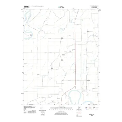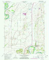
1961 Map of Decker
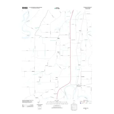
USGS Topo · Published 1981About this map
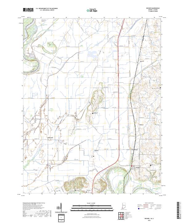
Decker serves as a focal point in this riverine landscape, where the White River loops through southern Knox County. The area is defined by an intricate drainage network including the Deshee River and the Vieke Drainage System Ditch, which manage the lowlands between the Wabash and White forks. To the south, the Dicksburg Hills and Chimney Pier Hills rise above the alluvial plains, providing high ground for sites like Chimney Pier Hills Cem. The local economy of the early 1960s is reflected in the Louisville and Nashville rail line and scattered agricultural settlements such as Vollmer and Cantaloupe. Researchers will find numerous family-centric landmarks, from Warth Cem to the Beadell Cem, and small rural institutions like St Thomas Sch, documenting a community closely tied to its waterways and fertile bottoms.
Find a feature on this map
49 named features on this map. Tap any name to fly to it.
Don’t see what you’re looking for? This feature index may not catch every label — zoom into the map to look around manually.
Map Details
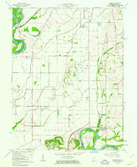
Editions of this 1961 Decker Map
3 editions found
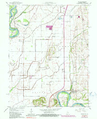
Historical Maps of Decker Through Time
6 maps found