Loading...
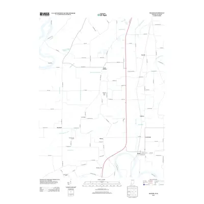
Loading map...1961 Map of Decker
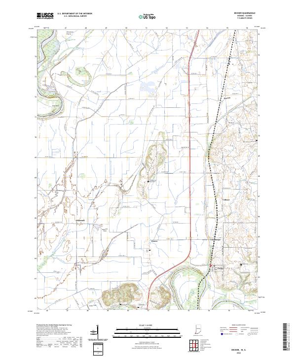
USGS Topo · Published 1990About this map
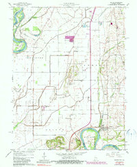
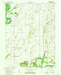
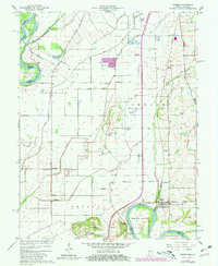
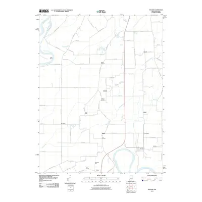
White River and Deshee River meander through this landscape south of Vincennes, defining a region where water management is central to the land's utility. The complex network of the Vieke Drainage System, Mantle Ditch, and Old Swan Pond Ditch reveals a long-standing effort to reclaim and protect the fertile bottomlands between the White and the Wabash River. These engineering works, along with numerous levees, underscore the precarious balance between agriculture and the natural floodplains of the Indiana-Illinois border.
Find a feature on this map
45 named features on this map. Tap any name to fly to it.
Don’t see what you’re looking for? This feature index may not catch every label — zoom into the map to look around manually.
Map Details
Date Portrayed1961
Date Published1990
PublisherU.S. Geological Survey
Map TypeTopographic
Scale1:24,000
Physical Dimensions22 x 26.8 inches
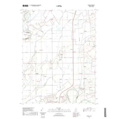
Editions of this 1961 Decker Map
3 editions found
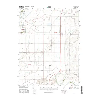
Historical Maps of Decker Through Time
6 maps found
Featured Locations
Source Details
SourceU.S. Geological Survey
CopyrightPublic Domain