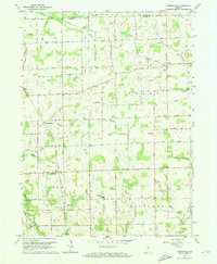
1960 Map of Deedsville
USGS Topo · Published 1973About this map
Deedsville serves as a focal point in this 1960 survey of northern Miami County, where the Chicago And ST Louis railroad cuts through the rural landscape. The map captures a transition period for the local education system, prominently featuring the North Miami High Sch amidst a network of established townships including Allen, Perry, Union, and Richland. The terrain is defined by a dense concentration of family and community landmarks, particularly a high number of rural burial grounds like IOOF Cem, Macedonia Cem, and Tilden Cem. These sites, along with Ebenezer Ch and Pleasant Hill Ch, reflect the deeply rooted settlement patterns of the area. The drainage of the till plain is evident in the engineered and natural waterways, from the Dielman Ditch to the winding course of Weesau Creek, which shaped the placement of early roads like Runkle Road and Strebe Road.
Find a feature on this map
40 named features on this map. Tap any name to fly to it.
Don’t see what you’re looking for? This feature index may not catch every label — zoom into the map to look around manually.
Map Details
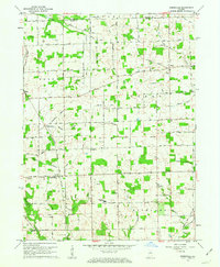
Editions of this 1960 Deedsville Map
2 editions found
Other maps of this area

1951 · Peru
USGS Topo · 1:24,000

1951 · Twelve Mile
USGS Topo · 1:24,000

1951 · Richvalley
USGS Topo · 1:24,000

1953 · Fort Wayne
USGS Topo · 1:250,000

1953 · Chicago
USGS Topo · 1:250,000

1953 · Danville
USGS Topo · 1:250,000

1953 · Muncie
USGS Topo · 1:250,000

1955 · Danville
USGS Topo · 1:250,000

1956 · Muncie
USGS Topo · 1:250,000

1956 · Danville
USGS Topo · 1:250,000