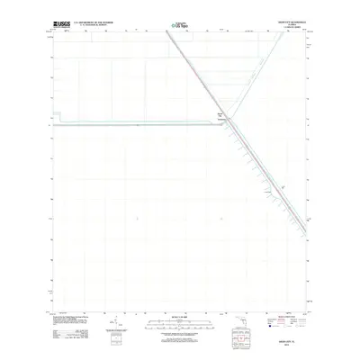
2012 Map of Deem City
USGS Topo · Published 2012About this map
North New River Canal cuts a striking diagonal through this landscape, defining the corridor for infrastructure and habitation in a region dominated by water management. The small settlements of Deem City and Terrytown are situated at a primary junction along this waterway, reflecting the historical importance of canal-side locations for rural Florida outposts. The surrounding territory is partitioned by protective structures like Levee 38E and Levee 38W, which underscore the human effort to manage the local environment. This 2012 survey illustrates how modern development is anchored to the legacy of early drainage projects, with large tracts of land remaining largely defined by their proximity to these engineered water systems and access roads.
Find a feature on this map
5 named features on this map. Tap any name to fly to it.
Don’t see what you’re looking for? This feature index may not catch every label — zoom into the map to look around manually.
Map Details
Editions of this 2012 Deem City Map
This is the sole edition of this map. No revisions or reprints were ever made.
Other maps of this area

1956 · West Palm Beach
USGS Topo · 1:250,000

1957 · West Palm Beach
USGS Topo · 1:250,000

1958 · West Palm Beach
USGS Topo · 1:250,000

1963 · Andytown
USGS Topo · 1:24,000

1973 · Everglades 4 NW
USGS Topo · 1:24,000

1973 · Everglades 4 NE
USGS Topo · 1:24,000

1973 · Fort Lauderdale 2 SW
USGS Topo · 1:24,000

1974 · Everglades 1 SW
USGS Topo · 1:24,000

1974 · Everglades 1 NW
USGS Topo · 1:24,000

1974 · Everglades 1 SE
USGS Topo · 1:24,000