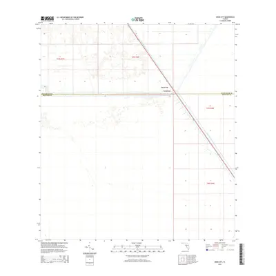
2015 Map of Deem City
USGS Topo · Published 2015About this map
The North New River Canal cuts a sharp diagonal path through this South Florida landscape, serving as a primary corridor for water management and transit along the boundary of Palm Beach Co and Broward Co. This 2015 survey illustrates a rural interior region where human activity is concentrated at the small settlements of Deem City and Terrytown. These communities are positioned where the waterway intersects the county line, highlighting the historic reliance on canals to define and navigate the Everglades environment. The map shows the structured land divisions of Township 47 South and Range 38 East, providing a clear record of the rectilinear survey system that governs the development of the Florida marshlands.
Find a feature on this map
7 named features on this map. Tap any name to fly to it.
Don’t see what you’re looking for? This feature index may not catch every label — zoom into the map to look around manually.
Map Details
Editions of this 2015 Deem City Map
This is the sole edition of this map. No revisions or reprints were ever made.
Other maps of this area

1956 · West Palm Beach
USGS Topo · 1:250,000

1957 · West Palm Beach
USGS Topo · 1:250,000

1958 · West Palm Beach
USGS Topo · 1:250,000

1963 · Andytown
USGS Topo · 1:24,000

1973 · Everglades 4 NW
USGS Topo · 1:24,000

1973 · Everglades 4 NE
USGS Topo · 1:24,000

1973 · Fort Lauderdale 2 SW
USGS Topo · 1:24,000

1974 · Everglades 1 SW
USGS Topo · 1:24,000

1974 · Everglades 1 NW
USGS Topo · 1:24,000

1974 · Everglades 1 SE
USGS Topo · 1:24,000