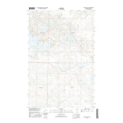
2016 Map of Deer Lake East
USGS Topo · Published 2016About this map
Battle Lake and Five Island Lake anchor a landscape defined by an intricate network of glacial basins and forest tracks in this 2016 survey of Itasca County. The terrain is a complex mosaic of water and wetlands, where named bodies like Townline Lake and Thistledew Lake are connected by a system of rural routes including Horseshoe Forest Trl and Button Box Rd. The map illustrates the contemporary rural character of northern Minnesota, showing how modern access roads like Roller Coaster Rd and N Pickerel Rd weave through the dense timberland and around small, secluded basins such as Lake Seventeen and Little Dew Lake. This document provides a clear view of the hydrological connectivity and land divisions, including the boundaries for T62N and T61N, within the Northwoods environment.
Find a feature on this map
50 named features on this map. Tap any name to fly to it.
Don’t see what you’re looking for? This feature index may not catch every label — zoom into the map to look around manually.
Map Details
Editions of this 2016 Deer Lake East Map
This is the sole edition of this map. No revisions or reprints were ever made.
Other maps of this area

1919 · Release
USGS Topo · 1:62,500

1943 · Release
USGS Topo · 1:62,500

1954 · Hibbing
USGS Topo · 1:250,000

1957 · Hibbing
USGS Topo · 1:250,000

1958 · Hibbing
USGS Topo · 1:250,000

1964 · Hibbing
USGS Topo · 1:250,000

1964 · Sherry Lake
USGS Topo · 1:24,000

1970 · Rauch
USGS Topo · 1:24,000

1970 · Deer Lake East
USGS Topo · 1:24,000
1970 · Anderson Lake
USGS Topo · 1:24,000