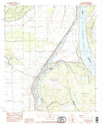
1983 Map of Deer Park
USGS Topo · Published 1984About this map
Mississippi River dynamics dominate this survey, where the shifting border between Louisiana and Mississippi follows the complex hydrology of Old River and Deer Park Bend. This region of Concordia Parish Adams Co is characterized by extensive alluvial features, including the large Glasscock Towhead and St Catherine Towhead. The settlement of Deer Park sits protected behind a prominent Levee, which runs parallel to the river's winding course.
Find a feature on this map
25 named features on this map. Tap any name to fly to it.
Don’t see what you’re looking for? This feature index may not catch every label — zoom into the map to look around manually.
Map Details
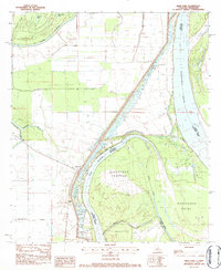
Editions of this 1983 Deer Park Map
2 editions found
Other maps of this area

1909 · Sycamore Landing
USGS Topo · 1:24,000

1909 · Vidalia
USGS Topo · 1:24,000

1921 · Natchez
USGS Topo · 1:48,000

1922 · Natchez
USGS Topo · 1:62,500

1939 · Red Gum
USGS Topo · 1:62,500

1939 · Natchez
USGS Topo · 1:62,500

1939 · Kingston
USGS Topo · 1:62,500

1939 · Deer Park
USGS Topo · 1:62,500

1953 · Natchez
USGS Topo · 1:250,000

1956 · Natchez
USGS Topo · 1:250,000