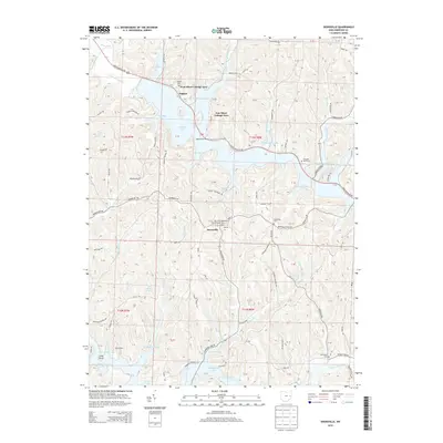
2013 Map of Deersville
USGS Topo · Published 2013About this map
The ridge-and-valley terrain of Harrison County is defined by the significant footprints of Tappan Lake and Clendening Lake, two major reservoirs that transformed the local geography. The village of Deersville sits centrally on a high ridge, anchored by the Deersville Methodist Episcopal Cem and its post office. This survey reveals a landscape balanced between seasonal recreation and long-standing rural settlement. While the shoreline features modern developments like the Tappan Lake Marina, West Shore Cottage Area, and East Shore Cottage Area, the surrounding hills preserve older sites of genealogical interest, including the Pleasant Valley Cem and Minksville Cem. The intricate network of township roads, such as Moravian Trl and Tappan Lake Park Rd, follows the contours of the land, connecting scattered homesteads to the waterfront and the historic core of the village.
Find a feature on this map
129 named features on this map. Tap any name to fly to it.
Don’t see what you’re looking for? This feature index may not catch every label — zoom into the map to look around manually.
Map Details
Editions of this 2013 Deersville Map
This is the sole edition of this map. No revisions or reprints were ever made.
Other maps of this area

1902 · Scio
USGS Topo · 1:62,500

1903 · Flushing
USGS Topo · 1:62,500

1904 · Scio
USGS Topo · 1:62,500

1905 · Flushing
USGS Topo · 1:62,500

1909 · Antrim
USGS Topo · 1:48,000

1909 · Uhrichsville
USGS Topo · 1:62,500

1911 · Antrim
USGS Topo · 1:62,500

1911 · Uhrichsville
USGS Topo · 1:62,500

1951 · Canton
USGS Topo · 1:250,000

1953 · Canton
USGS Topo · 1:250,000