
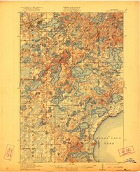
1914 Map of Deerwood
USGS Topo · Published 1914About this map
Crosby and Ironton anchor the northwestern corner of this landscape, emerging as industrial hubs defined by their proximity to the iron ranges. The map reveals a transition from these busy rail-connected settlements to a dense network of water bodies and rural townships. The Northern Pacific and Soo Line railroads cross the territory, facilitating the movement of resources and people between the iron mines and larger markets.
Find a feature on this map
99 named features on this map. Tap any name to fly to it.
Don’t see what you’re looking for? This feature index may not catch every label — zoom into the map to look around manually.
Map Details
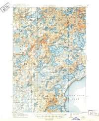
Editions of this 1914 Deerwood Map
3 editions found
Other maps of this area

1912 · Deerwood
USGS Topo · 1:62,500

1913 · Cuyuna
USGS Topo · 1:62,500

1914 · Aitkin
USGS Topo · 1:62,500

1915 · Aitkin
USGS Topo · 1:62,500

1915 · Cuyuna
USGS Topo · 1:62,500

1915 · Brainerd
USGS Topo · 1:62,500

1916 · Wealthwood
USGS Topo · 1:62,500

1918 · Brainerd
USGS Topo · 1:62,500

1948 · Lastrup
USGS Topo · 1:62,500

1950 · Lastrup
USGS Topo · 1:62,500