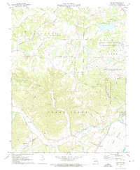
1972 Map of Defiance
USGS Topo · Published 1973About this map
The Daniel Boone Home and the rural communities of St. Charles County are documented in this detailed early 1970s survey. The landscape is defined by the winding course of the Missouri R and the extensive floodplains of Darst Bottoms, where the Missouri - Kansas - Texas railroad tracks follow the river's edge. To the north, the terrain transitions into the managed lands of the August A Busch Memorial Wildlife Area and the Weldon Spring Experimental Farms University of Missouri.
Find a feature on this map
41 named features on this map. Tap any name to fly to it.
Don’t see what you’re looking for? This feature index may not catch every label — zoom into the map to look around manually.
Map Details
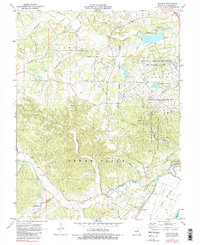
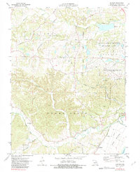
Editions of this 1972 Defiance Map
3 editions found
Other maps of this area

1903 · O'Fallon
USGS Topo · 1:125,000

1931 · Brussels
USGS Topo · 1:62,500

1937 · Weldon Spring
USGS Topo · 1:24,000

1939 · Brussels
USGS Topo · 1:62,500

1940 · Eureka
USGS Topo · 1:24,000

1940 · Weldon Spring
USGS Topo · 1:24,000

1941 · Troy
USGS Topo · 1:62,500

1943 · Brussels
USGS Topo · 1:62,500

1944 · Eureka
USGS Topo · 1:24,000

1945 · Troy
USGS Topo · 1:62,500