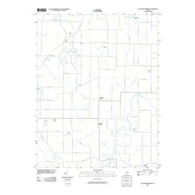
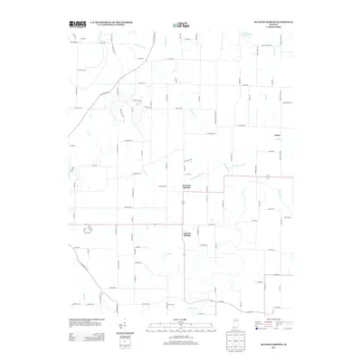
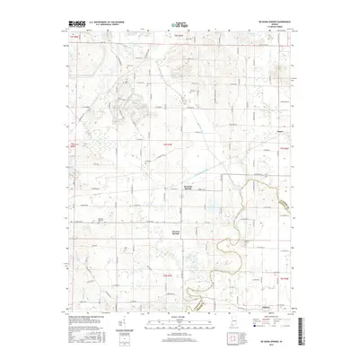
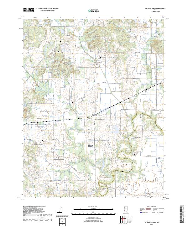
1902 Map of Degonia Springs
USGS Topo · Published 1936About this map
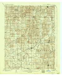
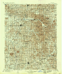
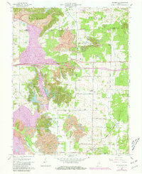
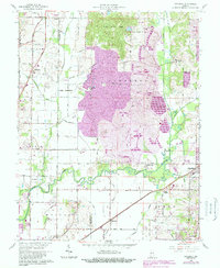
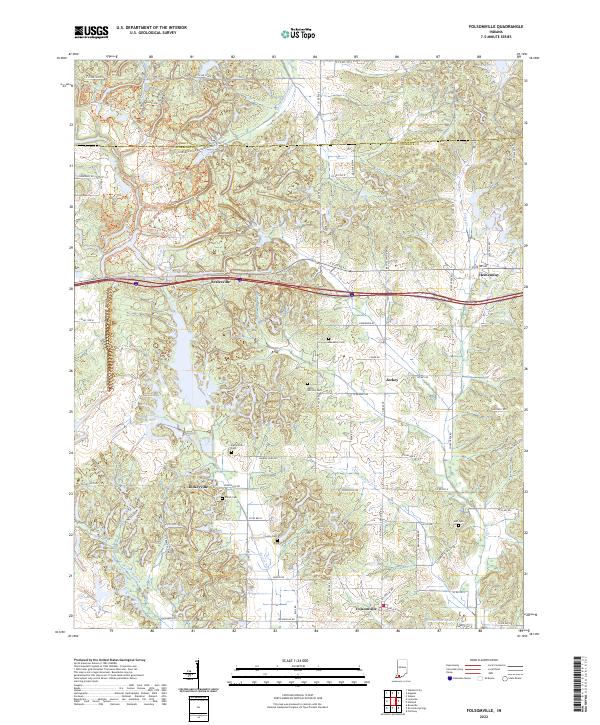
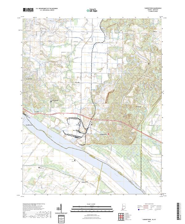
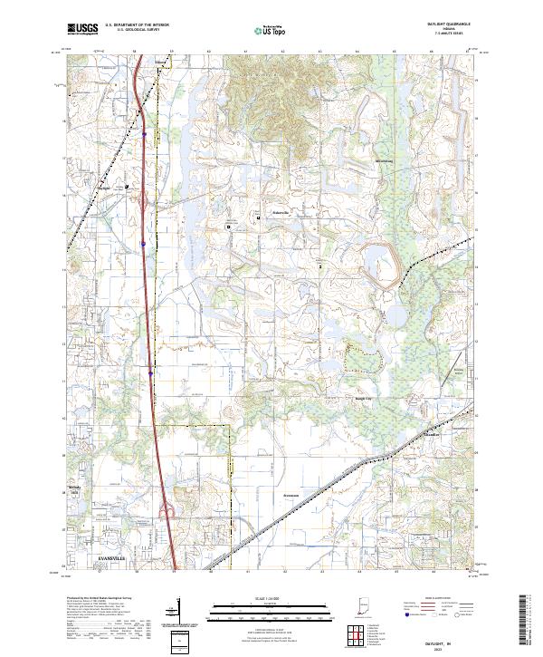
Degonia Springs and Ash Iron Springs serve as central landmarks in this turn-of-the-century landscape, illustrating the importance of mineral springs to local identity in southern Indiana. The region is defined by a dense network of small agricultural settlements and crossroads like Tennyson, Folsomville, and Gentryville, all linked by the Southern railroad. The geography is characterized by the winding path of Little Pigeon Creek and its tributaries, including Pokeberry Creek and Sugar Tree Creek, which dictated the early township boundaries of Lane, Pigeon, and Skelton. This 1902 survey, reprinted in 1936, captures a rural economy still largely dependent on rail transport, as seen in the Evansville Division and Rockport Branch lines. Genealogists can trace the location of long-standing family communities such as Scalesville, Dickeyville, and Hemenway before modern development shifted the regional footprint.
Find a feature on this map
43 named features on this map. Tap any name to fly to it.
Don’t see what you’re looking for? This feature index may not catch every label — zoom into the map to look around manually.
Map Details
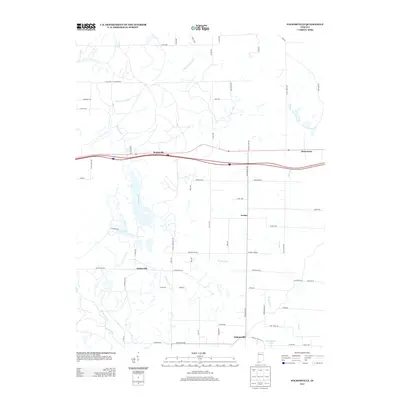
Editions of this 1902 Degonia Springs Map
2 editions found

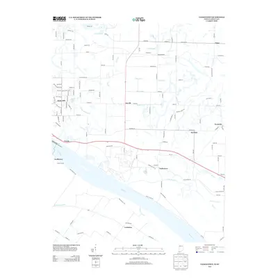
Historical Maps of Boonville Through Time
28 maps found

1900 De Gonia Springs
Warrick County, IN
1902 Degonia Springs
Warrick County, IN
1902 Ditney
Warrick County, IN
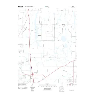
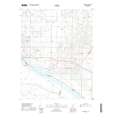
1951 Yankeetown
Warrick County, IN
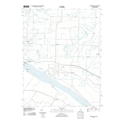
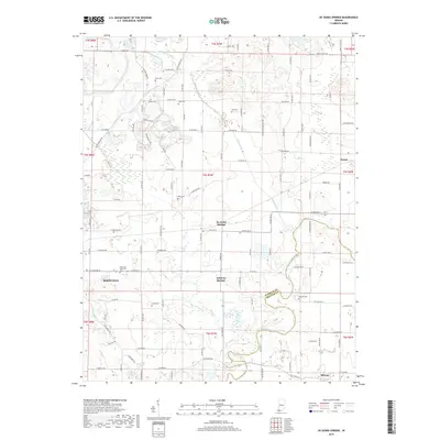
1960 De Gonia Springs
Warrick County, IN
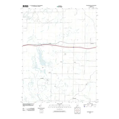
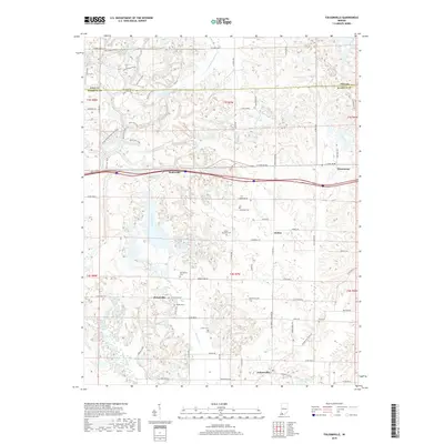
1960 Folsomville
Warrick County, IN
1961 Daylight
Warrick County, IN
1964 Yankeetown
Warrick County, IN
2010 Daylight
Warrick County, IN
2010 De Gonia Springs
Warrick County, IN
2010 Folsomville
Warrick County, IN
2010 Yankeetown
Warrick County, IN
2013 Daylight
Warrick County, IN
2013 De Gonia Springs
Warrick County, IN
2013 Folsomville
Warrick County, IN
2013 Yankeetown
Warrick County, IN
2016 Daylight
Warrick County, IN
2016 De Gonia Springs
Warrick County, IN
2016 Folsomville
Warrick County, IN
2016 Yankeetown
Warrick County, IN
2019 Daylight
Warrick County, IN
2019 De Gonia Springs
Warrick County, IN
2019 Folsomville
Warrick County, IN
2019 Yankeetown
Warrick County, IN
2022 De Gonia Springs
Warrick County, IN
2022 Folsomville
Warrick County, IN
2022 Yankeetown
Warrick County, IN
2023 Daylight
Warrick County, IN