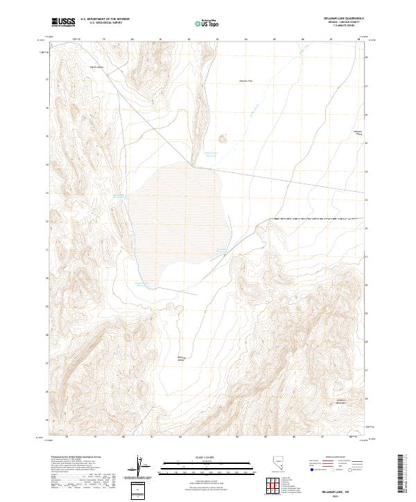
2021 Map of Delamar Lake
USGS Topo · Published 2021About this map
The Delamar Flat basin dominates this portion of Lincoln County, defining a landscape shaped by intermittent water and high desert topography. This area is characterized by a series of vital water management features, including the Delamar Flat Reservoir, Southside Reservoirs, and Southeast Reservoirs, which suggest a history of managing runoff for rangeland use. The terrain is framed by the Pahroc Range to the northwest and the Delamar Mountains to the southeast, creating a broad corridor known as the Delamar Valley. This 2021 survey also details the course of Jumbo Wash as it descends from the northeast toward the flat. Notable geological landmarks such as Black Point and the nearby Black Point Reservoir provide distinct navigational points in an otherwise expansive and open desert environment.
Find a feature on this map
14 named features on this map. Tap any name to fly to it.
Don’t see what you’re looking for? This feature index may not catch every label — zoom into the map to look around manually.
Map Details
Editions of this 2021 Delamar Lake Map
This is the sole edition of this map. No revisions or reprints were ever made.
Other maps of this area

1885 · Pioche
USGS Topo · 1:250,000

1886 · Pioche
USGS Topo · 1:250,000

1945 · Alamo
USGS Topo · 1:125,000

1954 · Caliente
USGS Topo · 1:250,000

1959 · Caliente
USGS Topo · 1:250,000

1969 · Alamo SE
USGS Topo · 1:24,000

1969 · Delamar
USGS Topo · 1:24,000

1969 · Gregerson Basin
USGS Topo · 1:24,000

1969 · Delamar 3 NE
USGS Topo · 1:24,000

1969 · Lower Pahranagat Lake
USGS Topo · 1:24,000