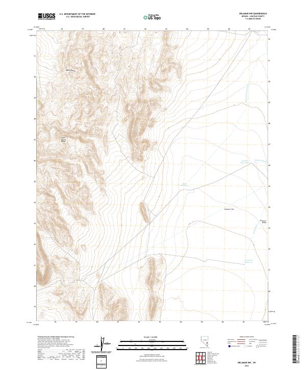
2021 Map of Delamar NW
USGS Topo · Published 2021About this map
The Pahroc Range and South Pahroc Range dominate the western portion of this high-desert landscape in Lincoln County. To the east, the terrain levels out into the broad expanse of Delamar Flat and the wider Delamar Valley, a region defined by its intermittent drainage systems. Several ephemeral water sources and catchments are identified throughout the valley floor, including the colorfully named Cyanide Reservoir, Chalk Reservoir, and Powerline Reservoir.
Find a feature on this map
16 named features on this map. Tap any name to fly to it.
Don’t see what you’re looking for? This feature index may not catch every label — zoom into the map to look around manually.
Map Details
Editions of this 2021 Delamar NW Map
This is the sole edition of this map. No revisions or reprints were ever made.
Other maps of this area

1885 · Pioche
USGS Topo · 1:250,000

1886 · Pioche
USGS Topo · 1:250,000

1945 · Alamo
USGS Topo · 1:125,000

1954 · Caliente
USGS Topo · 1:250,000

1959 · Caliente
USGS Topo · 1:250,000

1969 · Alamo SE
USGS Topo · 1:24,000

1969 · Delamar
USGS Topo · 1:24,000

1969 · Gregerson Basin
USGS Topo · 1:24,000

1969 · Alamo NE
USGS Topo · 1:24,000

1969 · Delamar NW
USGS Topo · 1:24,000