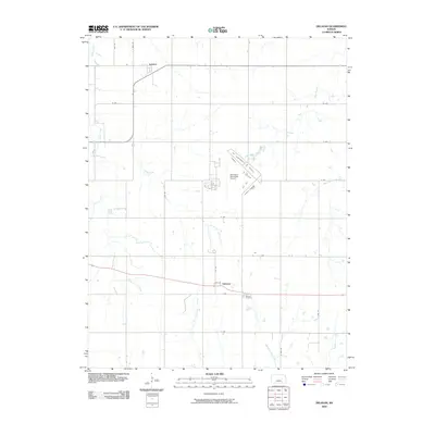
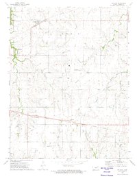
2009 Map of Delavan
USGS Topo · Published 2009About this map
Latimer and Delavan anchor this rural landscape in central Kansas, where the headwaters of several key waterways begin their descent. The terrain is defined by a dendritic drainage pattern including Clarks Creek and Threemile Creek, which cut through the agricultural grid. A notable modern landmark, the Herington Municipal Airport, occupies a central position, its runways contrasting with the surrounding section lines and country roads like R Ave and S 2800 Rd. For those researching local heritage, the Delavan Cemetery remains a significant point of interest near the settlement of Delavan. The map also captures the path of the West Fork Neosho River as it winds through the eastern portion of the quadrangle alongside Mile-and-a-Half Creek, illustrating the intersection of Kansas prairie hydrology and established rural community life.
Find a feature on this map
24 named features on this map. Tap any name to fly to it.
Don’t see what you’re looking for? This feature index may not catch every label — zoom into the map to look around manually.
Map Details
Editions of this 2009 Delavan Map
This is the sole edition of this map. No revisions or reprints were ever made.
Other maps of this area

1889 · Parkerville
USGS Topo · 1:125,000

1894 · Parkerville
USGS Topo · 1:125,000

1955 · Hutchinson
USGS Topo · 1:250,000

1959 · Hutchinson
USGS Topo · 1:250,000

1964 · Skiddy
USGS Topo · 1:24,000
1964 · Woodbine
USGS Topo · 1:24,000
1971 · White City
USGS Topo · 1:24,000

1972 · Wilsey
USGS Topo · 1:24,000
1972 · Burdick
USGS Topo · 1:24,000
1972 · Delavan
USGS Topo · 1:24,000