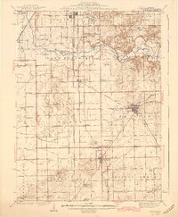
1942 Map of Delavan
USGS Topo · Published 1942About this map
Mackinaw River meanders across the northern half of this Central Illinois landscape, carving a valley through the glacial till of Sand Prairie and Elm Grove. The era's transportation network is defined by a dense intersection of rail lines, with the Illinois Central, Chicago and Northwestern, and Chicago and Alton railroads converging at key junctions like South Pekin and Delavan. These tracks supported a thriving agricultural economy, connecting small grain-handling points and settlements such as San Jose and Green Valley to regional markets.
Find a feature on this map
82 named features on this map. Tap any name to fly to it.
Don’t see what you’re looking for? This feature index may not catch every label — zoom into the map to look around manually.
Map Details
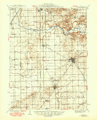
Editions of this 1942 Delavan Map
3 editions found

Other maps of this area

1905 · Peoria
USGS Topo · 1:62,500

1911 · Lincoln
USGS Topo · 1:62,500

1913 · Lincoln
USGS Topo · 1:62,500

1927 · Peoria
USGS Topo · 1:62,500

1928 · Mackinaw
USGS Topo · 1:62,500

1929 · Manito
USGS Topo · 1:62,500

1930 · Glasford
USGS Topo · 1:62,500

1932 · Mackinaw
USGS Topo · 1:62,500

1932 · Manito
USGS Topo · 1:62,500

1933 · Petersburg
USGS Topo · 1:62,500