
1942 Map of Delavan
USGS Topo · Published 1942About this map
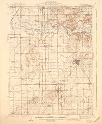
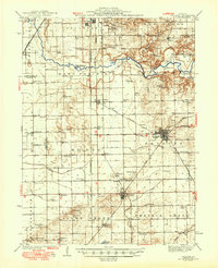
Delavan serves as the central hub of this agricultural and rail-oriented landscape, where the Illinois Central, Alton, and Chicago and Northwestern railroads converge to move goods across Central Illinois. The terrain is defined by the winding course of the Mackinaw River in the north and an extensive system of drainage infrastructure, such as the Main Ditch and Allen Grove Ditch, which converted the natural wetlands and Sand Prairie into productive farmland.
Find a feature on this map
73 named features on this map. Tap any name to fly to it.
Don’t see what you’re looking for? This feature index may not catch every label — zoom into the map to look around manually.
Map Details
Editions of this 1942 Delavan Map
3 editions found
Other maps of this area

1905 · Peoria
USGS Topo · 1:62,500

1911 · Lincoln
USGS Topo · 1:62,500

1913 · Lincoln
USGS Topo · 1:62,500

1927 · Peoria
USGS Topo · 1:62,500

1928 · Mackinaw
USGS Topo · 1:62,500

1929 · Manito
USGS Topo · 1:62,500

1930 · Glasford
USGS Topo · 1:62,500

1932 · Mackinaw
USGS Topo · 1:62,500

1932 · Manito
USGS Topo · 1:62,500

1933 · Petersburg
USGS Topo · 1:62,500