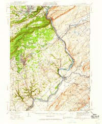
1936 Map of Delaware Water Gap
USGS Topo · Published 1959About this map
Delaware Water Gap serves as the focal point for this 1930s topographic survey, where the Delaware River cuts through the massive ridges of Blue Mountain. The map captures a complex industrial and transport network at the height of the steam era, featuring the New York Susquehanna and Western RR and the Lehigh and New England RR threading through narrow river gaps and valleys. To the west, the slate-producing region near Bangor and Pen Argyl is densely settled, while the higher elevations of Godfrey Ridge and Scotts Mountain remain largely rural.
Find a feature on this map
111 named features on this map. Tap any name to fly to it.
Don’t see what you’re looking for? This feature index may not catch every label — zoom into the map to look around manually.
Map Details
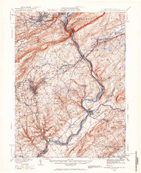
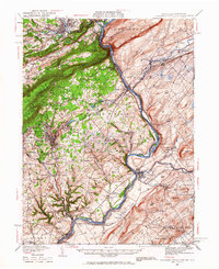
Editions of this 1936 Delaware Water Gap Map
4 editions found

Other maps of this area

1888 · Hackettstown
USGS Topo · 1:62,500

1890 · Easton
USGS Topo · 1:62,500

1890 · High Bridge
USGS Topo · 1:62,500

1891 · Easton
USGS Topo · 1:62,500

1891 · Wallpack
USGS Topo · 1:62,500

1891 · Delaware Water Gap
USGS Topo · 1:62,500

1893 · Delaware Water Gap
USGS Topo · 1:62,500

1893 · Wallpack
USGS Topo · 1:62,500

1894 · Hackettstown
USGS Topo · 1:62,500

1894 · Allentown
USGS Topo · 1:62,500