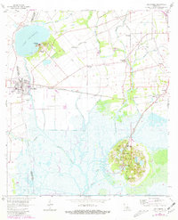
1963 Map of Delcambre
USGS Topo · Published 1981About this map
The salt domes of Avery Island and Jefferson Island dominate the landscape of the Vermilion and Iberia Parish border, rising distinctly above the surrounding marshlands and canals. This environment is defined by an intricate network of water management, including the Petite Anse Canal and the Segura Branch Canal, which support the regional Jefferson Island Oil and Gas Field. The town of Delcambre serves as a primary hub for the area, situated along the Southern Pacific railroad line that connects several smaller landings and agricultural outposts like Bob Acres, Numa, and Emma. Cultural and historical landmarks are scattered throughout, from the Jungle Gardens on the southern dome to local family sites such as Broussard Cem and the Terrell Sch. The survey also documents the industrial presence of numerous gas wells and pits amidst the natural hydrology of Lake Peigneur and Bayou Carlin.
Find a feature on this map
49 named features on this map. Tap any name to fly to it.
Don’t see what you’re looking for? This feature index may not catch every label — zoom into the map to look around manually.
Map Details
Editions of this 1963 Delcambre Map
2 editions found
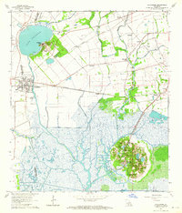
Other maps of this area

1932 · Abbeville SE
USGS Topo · 1:31,680

1932 · Abbeville NE
USGS Topo · 1:31,680

1937 · Derouen
USGS Topo · 1:62,500

1939 · St. Martinsville
USGS Topo · 1:62,500

1945 · New Orleans
USGS Topo · 1:250,000

1946 · Milton
USGS Topo · 1:31,680

1952 · Lake Charles
USGS Topo · 1:250,000
1954 · Milton
USGS Topo · 1:31,680

1954 · Port Arthur
USGS Topo · 1:250,000
1954 · Abbeville
USGS Topo · 1:62,500