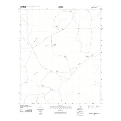
2010 Map of Dellahunt Draw East
USGS Topo · Published 2010About this map
Grisham Pumping Station serves as the industrial centerpiece of this arid West Texas landscape, where infrastructure is dictated by the availability of water. The map documents a network of hydraulic engineering essential for ranching and utility operations in Culberson County, characterized by a high density of named windmills and stock tanks. Notable water sources include McCutchum Windmill, Sheep Camp Windmill, and Little Sulphur Windmill, alongside storage features like Henderson Tank and Mendoza Tank. Natural drainage patterns are defined by the wide courses of Dellahunt Draw and China Draw, which intersect a sparse road network including Brooks Rd and Gresham Rd. This 2010 survey provides a look at the enduring ranching economy and the technical systems required to sustain it.
Find a feature on this map
21 named features on this map. Tap any name to fly to it.
Don’t see what you’re looking for? This feature index may not catch every label — zoom into the map to look around manually.
Map Details
Editions of this 2010 Dellahunt Draw East Map
This is the sole edition of this map. No revisions or reprints were ever made.
Other maps of this area

1928 · Kent
USGS Topo · 1:125,000

1954 · Van Horn
USGS Topo · 1:250,000

1958 · Van Horn
USGS Topo · 1:250,000

1973 · Dellahunt Draw West
USGS Topo · 1:24,000

1973 · Two Mill Draw West
USGS Topo · 1:24,000
1973 · Burnt Spring Hills SE
USGS Topo · 1:24,000
1973 · Dellahunt Draw East
USGS Topo · 1:24,000
1973 · Dry Lake
USGS Topo · 1:24,000
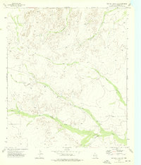
1973 · Two Mill Draw East
USGS Topo · 1:24,000
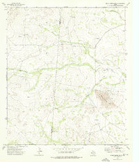
1973 · Burnt Spring Hills
USGS Topo · 1:24,000