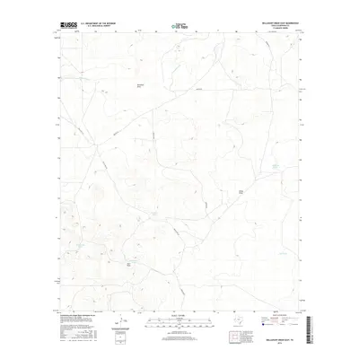
2016 Map of Dellahunt Draw East
USGS Topo · Published 2016About this map
Dellahunt Draw and China Draw dominate this high-desert landscape in west Texas, illustrating the ephemeral water systems characteristic of Culberson County. The network of drainage channels, including Hart Draw and Cottonwood Cr, defines the local topography and guides the placement of ranch infrastructure. This late-era survey documents a reliance on surface water management through a series of named catchments such as Mendoza Tank, Division Tank, and Humphrey Tank. These features are vital landmarks in an arid region where historical grazing and land management depend on these specific points of collection. The road network is sparse, with Brooks Rd and Gresham Rd providing the primary transit corridors through the draws, connecting this remote cattle country to the wider regional grid of the Trans-Pecos.
Find a feature on this map
13 named features on this map. Tap any name to fly to it.
Don’t see what you’re looking for? This feature index may not catch every label — zoom into the map to look around manually.
Map Details
Editions of this 2016 Dellahunt Draw East Map
This is the sole edition of this map. No revisions or reprints were ever made.
Other maps of this area

1928 · Kent
USGS Topo · 1:125,000

1954 · Van Horn
USGS Topo · 1:250,000

1958 · Van Horn
USGS Topo · 1:250,000

1973 · Dellahunt Draw West
USGS Topo · 1:24,000

1973 · Two Mill Draw West
USGS Topo · 1:24,000
1973 · Burnt Spring Hills SE
USGS Topo · 1:24,000
1973 · Dellahunt Draw East
USGS Topo · 1:24,000
1973 · Dry Lake
USGS Topo · 1:24,000
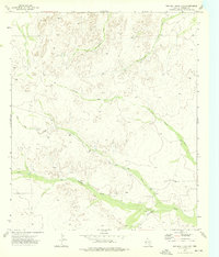
1973 · Two Mill Draw East
USGS Topo · 1:24,000
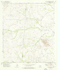
1973 · Burnt Spring Hills
USGS Topo · 1:24,000