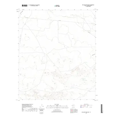
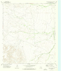
2019 Map of Dellahunt Draw West
USGS Topo · Published 2019About this map
Dellahunt Rd traverses the northern reaches of this arid Culberson County landscape, serving as a primary corridor through a region defined by complex drainage networks. The terrain is dominated by several significant ephemeral watercourses, most notably Dellahunt Draw and China Draw, which carve distinct paths through the high-desert topography. To the west, Horse Well Draw and Paint Horse Draw further illustrate the watershed patterns of the area.
Find a feature on this map
10 named features on this map. Tap any name to fly to it.
Don’t see what you’re looking for? This feature index may not catch every label — zoom into the map to look around manually.
Map Details
Editions of this 2019 Dellahunt Draw West Map
This is the sole edition of this map. No revisions or reprints were ever made.
Other maps of this area

1928 · Kent
USGS Topo · 1:125,000

1954 · Van Horn
USGS Topo · 1:250,000

1958 · Van Horn
USGS Topo · 1:250,000

1973 · Dellahunt Draw West
USGS Topo · 1:24,000

1973 · Two Mill Draw West
USGS Topo · 1:24,000

1973 · K C Ranch
USGS Topo · 1:24,000
1973 · Dome Hill
USGS Topo · 1:24,000
1973 · Dellahunt Draw East
USGS Topo · 1:24,000
1973 · Two Mill Draw East
USGS Topo · 1:24,000
1973 · Hopper Draw East
USGS Topo · 1:24,000