
2022 Map of Dellahunt Draw West
USGS Topo · Published 2022About this map
China Draw and Dellahunt Draw carve through this high-altitude landscape in Culberson County, defining a region where water management is central to the land's utility. The drainage patterns of Cottonwood Cr and Paint Horse Draw shape the northern reaches, while the local geography is marked by numerous man-made livestock watering points. These features, including Frosty Tank, Cedar Tank, and West Humphrey Tank, indicate a tradition of ranching and resource conservation in a territory where surface water is seasonal. Accessibility across these draws is primarily provided by Dellahunt Rd, which traverses the northern portion of the quadrangle. For those studying the arid-land ranching history of West Texas, the placement of these tanks and the orientation of drainages like Horse Well Draw provide insight into how the terrain has been navigated and utilized for generations.
Find a feature on this map
10 named features on this map. Tap any name to fly to it.
Don’t see what you’re looking for? This feature index may not catch every label — zoom into the map to look around manually.
Map Details
Editions of this 2022 Dellahunt Draw West Map
This is the sole edition of this map. No revisions or reprints were ever made.
Other maps of this area

1928 · Kent
USGS Topo · 1:125,000

1954 · Van Horn
USGS Topo · 1:250,000

1958 · Van Horn
USGS Topo · 1:250,000

1973 · Dellahunt Draw West
USGS Topo · 1:24,000

1973 · Two Mill Draw West
USGS Topo · 1:24,000

1973 · K C Ranch
USGS Topo · 1:24,000
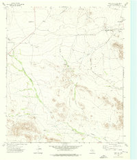
1973 · Dome Hill
USGS Topo · 1:24,000
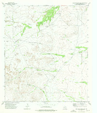
1973 · Dellahunt Draw East
USGS Topo · 1:24,000
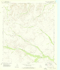
1973 · Two Mill Draw East
USGS Topo · 1:24,000
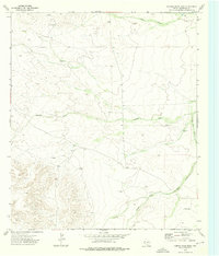
1973 · Hopper Draw East
USGS Topo · 1:24,000