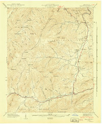
1941 Map of Dellwood
USGS Topo · Published 1941About this map
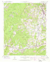
Jonathans Creek and Cove Creek anchor this mid-century look at the high valleys of Haywood County, where small agricultural pockets like Suttontown and Beantown thrived along the bottomlands. The landscape is defined by the high ridges of the Great Smoky Mountains and Pisgah National Forest, with a proposed boundary line indicating the shifting management of these mountain tracts in the 1940s. Local life is documented through numerous family-named landmarks and institutions, including the Rock Hill Sch and Shady Grove Ch.
Find a feature on this map
101 named features on this map. Tap any name to fly to it.
Don’t see what you’re looking for? This feature index may not catch every label — zoom into the map to look around manually.
Map Details
Editions of this 1941 Dellwood Map
7 editions found
Other maps of this area

1891 · Cowee
USGS Topo · 1:125,000

1893 · Mt Guyot
USGS Topo · 1:125,000

1894 · Asheville
USGS Topo · 1:125,000

1897 · Cowee
USGS Topo · 1:125,000

1901 · Asheville
USGS Topo · 1:125,000

1905 · Pisgah
USGS Topo · 1:125,000

1906 · Pisgah
USGS Topo · 1:125,000

1907 · Cowee
USGS Topo · 1:125,000

1912 · Mt Guyot
USGS Topo · 1:125,000

1935 · Waynesville
USGS Topo · 1:24,000