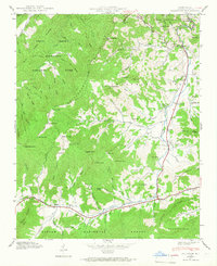
1941 Map of Dellwood
USGS Topo · Published 1966About this map
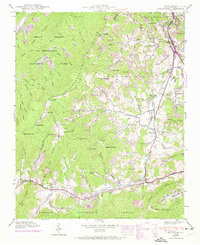
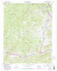
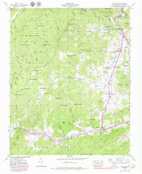
Jonathans Creek and its many mountain tributaries, such as Hemphill Creek and Cove Creek, define the settlement patterns of this highland landscape during the early 1940s. The region is marked by high elevations like Purchase Knob and Hemphill Bald, which separate the rugged valleys of the Great Smoky Mountains National Park from the southeastern valley floor. Local life is anchored by a network of rural institutions, including Rock Hill Sch and several country churches like Olivet Ch. The map reveals a high concentration of family-named cemeteries, such as the Garrett Cem, Owen Cem, and Davis Cem, providing valuable spatial data for genealogical research. The early layout of communities like Maggie and Dellwood shows a reliance on the narrow valley corridors for travel and habitation before later decades of expansion.
Find a feature on this map
85 named features on this map. Tap any name to fly to it.
Don’t see what you’re looking for? This feature index may not catch every label — zoom into the map to look around manually.
Map Details
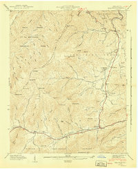
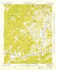
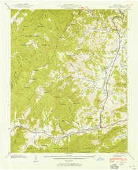
Editions of this 1941 Dellwood Map
7 editions found
Other maps of this area

1891 · Cowee
USGS Topo · 1:125,000

1893 · Mt Guyot
USGS Topo · 1:125,000

1894 · Asheville
USGS Topo · 1:125,000

1897 · Cowee
USGS Topo · 1:125,000

1901 · Asheville
USGS Topo · 1:125,000

1905 · Pisgah
USGS Topo · 1:125,000

1906 · Pisgah
USGS Topo · 1:125,000

1907 · Cowee
USGS Topo · 1:125,000

1912 · Mt Guyot
USGS Topo · 1:125,000

1935 · Waynesville
USGS Topo · 1:24,000