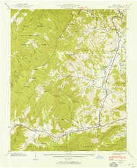
1941 Map of Dellwood
USGS Topo · Published 1958About this map
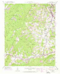
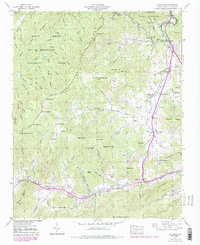
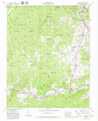
Jonathans Creek winds through the heart of this valley, serving as the primary corridor for agricultural settlement in the mid-20th century. The landscape is defined by the meeting of Great Smoky Mountains National Park and Pisgah National Forest, where steep ridges like Rough Ridge and Rabbit Ridge overlook small rural communities. The map documents early clusters of mountain life at Suttontown, Beantown, and Maggie, connected by winding local roads and mountain gaps. Genealogists will find a wealth of data in the numerous family burial grounds and places of worship, including Roundhill Cem, Garrett Cem, and Olivet Ch. The transition from wild forest terrain to the settled valley floors reveals a traditional Appalachian land use pattern, where development follows the fertile paths of Campbell Creek and Fie Creek.
Find a feature on this map
104 named features on this map. Tap any name to fly to it.
Don’t see what you’re looking for? This feature index may not catch every label — zoom into the map to look around manually.
Map Details
Editions of this 1941 Dellwood Map
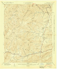
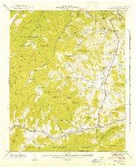
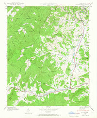
7 editions found
Other maps of this area

1891 · Cowee
USGS Topo · 1:125,000

1893 · Mt Guyot
USGS Topo · 1:125,000

1894 · Asheville
USGS Topo · 1:125,000

1897 · Cowee
USGS Topo · 1:125,000

1901 · Asheville
USGS Topo · 1:125,000

1905 · Pisgah
USGS Topo · 1:125,000

1906 · Pisgah
USGS Topo · 1:125,000

1907 · Cowee
USGS Topo · 1:125,000

1912 · Mt Guyot
USGS Topo · 1:125,000

1935 · Waynesville
USGS Topo · 1:24,000