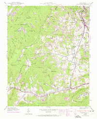
1941 Map of Dellwood
USGS Topo · Published 1974About this map
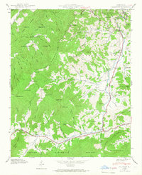
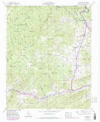
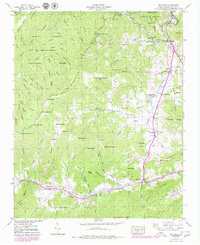
Jonathans Creek carves a deep valley through this 1941 topographic study, serving as the primary corridor for settlement and transit between the peaks of the Pisgah National Forest and the Great Smoky Mountains National Park. The landscape is defined by its agricultural and family-centric layout, particularly along the fertile coves. Small communities like Suttontown, Beantown, and Maggie are anchored by a high density of family burial grounds and country churches, such as the Howell Cem and Cove Creek Ch.
Find a feature on this map
102 named features on this map. Tap any name to fly to it.
Don’t see what you’re looking for? This feature index may not catch every label — zoom into the map to look around manually.
Map Details
Editions of this 1941 Dellwood Map
7 editions found
Other maps of this area

1891 · Cowee
USGS Topo · 1:125,000

1893 · Mt Guyot
USGS Topo · 1:125,000

1894 · Asheville
USGS Topo · 1:125,000

1897 · Cowee
USGS Topo · 1:125,000

1901 · Asheville
USGS Topo · 1:125,000

1905 · Pisgah
USGS Topo · 1:125,000

1906 · Pisgah
USGS Topo · 1:125,000

1907 · Cowee
USGS Topo · 1:125,000

1912 · Mt Guyot
USGS Topo · 1:125,000

1935 · Waynesville
USGS Topo · 1:24,000