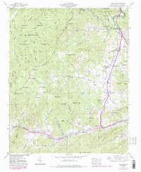
1941 Map of Dellwood
USGS Topo · Published 1979About this map
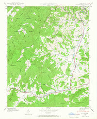
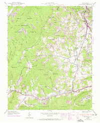
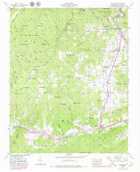
Great Smoky Mountains National Park occupies the northwestern portion of this 1941 field-checked survey, its boundary following the high Cataloochee Divide. South of the park line, the landscape transitions from steep peaks like Hemphill Bald and Fie Top into the settled valley of Jonathan Creek. This drainage serves as the primary corridor for agricultural and social life, evidenced by a string of silos and community landmarks.
Find a feature on this map
104 named features on this map. Tap any name to fly to it.
Don’t see what you’re looking for? This feature index may not catch every label — zoom into the map to look around manually.
Map Details
Editions of this 1941 Dellwood Map
7 editions found
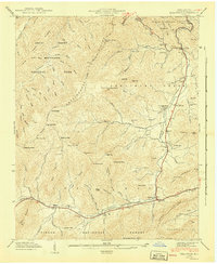
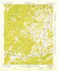
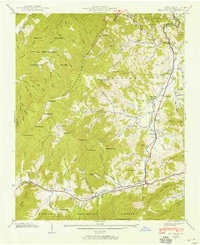
Other maps of this area

1891 · Cowee
USGS Topo · 1:125,000

1893 · Mt Guyot
USGS Topo · 1:125,000

1894 · Asheville
USGS Topo · 1:125,000

1897 · Cowee
USGS Topo · 1:125,000

1901 · Asheville
USGS Topo · 1:125,000

1905 · Pisgah
USGS Topo · 1:125,000

1906 · Pisgah
USGS Topo · 1:125,000

1907 · Cowee
USGS Topo · 1:125,000

1912 · Mt Guyot
USGS Topo · 1:125,000

1935 · Waynesville
USGS Topo · 1:24,000