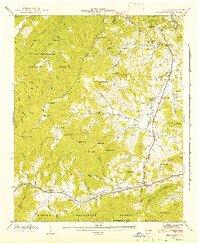
1941 Map of Dellwood
USGS Topo · Published 1941About this map
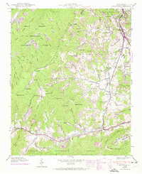
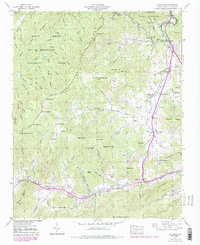
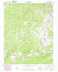
The Cataloochee Divide forms a dramatic topographical spine in this 1941 survey, separating the high peaks of the Great Smoky Mountains National Park from the valleys of the Pisgah National Forest. Along the southern corridor, the settlement of Maggie is emerging as a local hub near Olivet Ch, while Dellwood sits at a critical junction of routes following the winding course of Jonathans Creek. The landscape is defined by its coves and ridges, which dictated the placement of small communities like Suttontown and Beantown. Family names are deeply etched into the geography through numerous cemeteries and landmarks, including the Davis Cem and Howell Cem near Cove Creek. The map documents a period when rural education and worship were localized in landmarks such as the Rock Hill Sch and Shady Grove Ch, providing a detailed view of these mountain hollows before modern development altered their character.
Find a feature on this map
98 named features on this map. Tap any name to fly to it.
Don’t see what you’re looking for? This feature index may not catch every label — zoom into the map to look around manually.
Map Details
Editions of this 1941 Dellwood Map
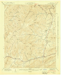
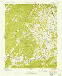
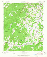
7 editions found
Other maps of this area

1891 · Cowee
USGS Topo · 1:125,000

1893 · Mt Guyot
USGS Topo · 1:125,000

1894 · Asheville
USGS Topo · 1:125,000

1897 · Cowee
USGS Topo · 1:125,000

1901 · Asheville
USGS Topo · 1:125,000

1905 · Pisgah
USGS Topo · 1:125,000

1906 · Pisgah
USGS Topo · 1:125,000

1907 · Cowee
USGS Topo · 1:125,000

1912 · Mt Guyot
USGS Topo · 1:125,000

1935 · Waynesville
USGS Topo · 1:24,000