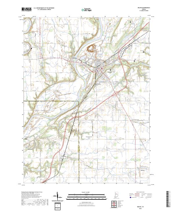
2022 Map of Delphi
USGS Topo · Published 2022About this map
Delphi and Pittsburg center this study of the mid-Wabash valley, where the legacy of the nineteenth-century Wabash and Erie Canal remains a defining topographical element. The town of Delphi serves as the focal point, anchored by the Carroll County Courthouse and surrounded by a dense collection of burial grounds including Baum Cem, Delphi Cem, and Saint Joseph Catholic Cem. The landscape is carved by the Wabash River and Tippecanoe River, which meet just beyond the western margins, creating a complex network of tributaries like Deer Creek and Sugar Creek. Transport patterns are defined by the intersection of older settlement routes and modern infrastructure, from the Delphi Municipal Airport to the rural crossings at Colburn, Americus, and Radnor. This record is particularly valuable for genealogists, as it documents numerous smaller family and community cemeteries like Benham Cem, Mears Cem, and Wingard Cem tucked into the river bends and agricultural sections.
Find a feature on this map
80 named features on this map. Tap any name to fly to it.
Don’t see what you’re looking for? This feature index may not catch every label — zoom into the map to look around manually.
Map Details
Editions of this 2022 Delphi Map
This is the sole edition of this map. No revisions or reprints were ever made.
Other maps of this area

1953 · Danville
USGS Topo · 1:250,000

1955 · Danville
USGS Topo · 1:250,000

1956 · Danville
USGS Topo · 1:250,000

1961 · Pyrmont
USGS Topo · 1:24,000

1961 · Lafayette East
USGS Topo · 1:24,000

1961 · Rossville
USGS Topo · 1:24,000

1962 · Flora
USGS Topo · 1:24,000

1962 · Burrows
USGS Topo · 1:24,000

1962 · Monticello South
USGS Topo · 1:24,000

1962 · Delphi
USGS Topo · 1:24,000